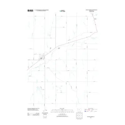
2013 Map of Battle Creek
USGS Topo · Published 2013About this map
The Maple River winds through this Ida County landscape, anchoring the community of Battle Creek as it appeared in the early 21st century. The town is laid out on a grid system with streets such as Daisy St, Center St, and Chestnut St providing a clear view of the municipal core near the river's bend. To the northeast, the Ida County Fairgrounds serves as a significant local landmark near Grell Pond, while the surrounding rural township is defined by a precise network of section-line roads like Eagle Ave and 270th St. Insights into the local drainage and topography are found in the numerous tributaries feeding the river, including Lund Cr, Aldrich Cr, and Crawford Cr. Elevated features like Battle Hill and the broad Pleasant Valley offer a sense of the undulating terrain that characterizes this part of western Iowa.
Find a feature on this map
43 named features on this map. Tap any name to fly to it.
Don’t see what you’re looking for? This feature index may not catch every label — zoom into the map to look around manually.
Map Details
Editions of this 2013 Battle Creek Map
This is the sole edition of this map. No revisions or reprints were ever made.
Other maps of this area

1954 · Fort Dodge
USGS Topo · 1:250,000

1957 · Fort Dodge
USGS Topo · 1:250,000

1958 · Fort Dodge
USGS Topo · 1:250,000

1967 · Holstein
USGS Topo · 1:24,000

1967 · Ida Grove
USGS Topo · 1:24,000

1967 · Battle Creek
USGS Topo · 1:24,000

1967 · Ida Grove NW
USGS Topo · 1:24,000

1969 · Danbury
USGS Topo · 1:24,000

1969 · Holstein SW
USGS Topo · 1:24,000

1969 · Cushing
USGS Topo · 1:24,000