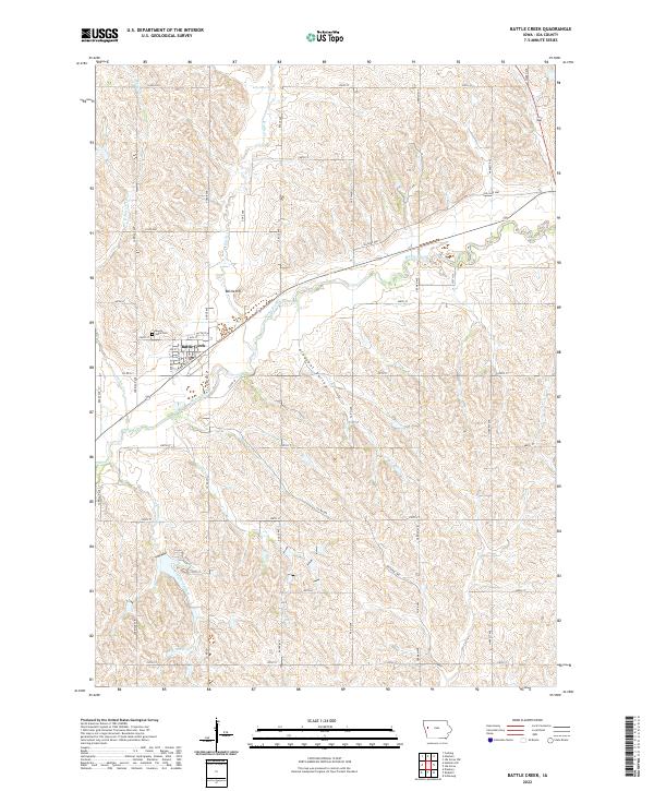
2022 Map of Battle Creek
USGS Topo · Published 2022About this map
Battle Creek sits at the confluence of several vital waterways in Ida County, where the Maple River meets its namesake Battle Cr. This modern survey illustrates the enduring agricultural layout of the region, defined by a rigid grid of rural roads such as Carriage Ave and Dodge Ave that negotiate the undulating terrain of Pleasant Valley. Local history is centered around the town site and the nearby Battle Hill, while the Mount Hope Cem provides a primary point of interest for genealogists tracing families in the area. The landscape is deeply etched by a network of drainage including Crawford Cr, Lund Cr, and Aldrich Cr, showing how the natural hydrology continues to shape the farm boundaries and transportation routes of this Iowa community.
Find a feature on this map
44 named features on this map. Tap any name to fly to it.
Don’t see what you’re looking for? This feature index may not catch every label — zoom into the map to look around manually.
Map Details
Editions of this 2022 Battle Creek Map
This is the sole edition of this map. No revisions or reprints were ever made.
Other maps of this area

1954 · Fort Dodge
USGS Topo · 1:250,000

1957 · Fort Dodge
USGS Topo · 1:250,000

1958 · Fort Dodge
USGS Topo · 1:250,000

1967 · Holstein
USGS Topo · 1:24,000

1967 · Ida Grove
USGS Topo · 1:24,000

1967 · Battle Creek
USGS Topo · 1:24,000

1967 · Ida Grove NW
USGS Topo · 1:24,000

1969 · Danbury
USGS Topo · 1:24,000

1969 · Holstein SW
USGS Topo · 1:24,000

1969 · Cushing
USGS Topo · 1:24,000