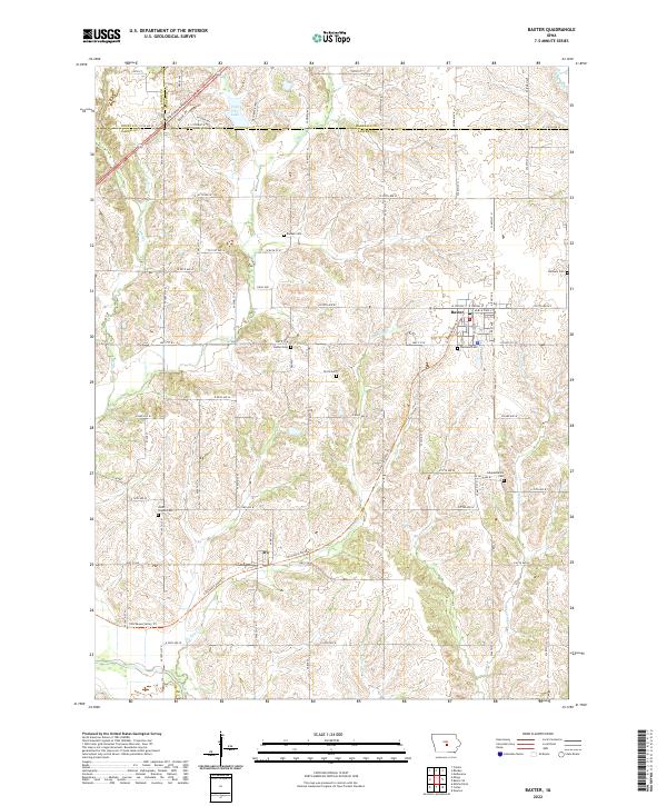
2022 Map of Baxter
USGS Topo · Published 2022About this map
Baxter serves as the primary hub for this portion of Jasper County, situated at the junction of several arterial routes including HWY f17 W and Co HWY f17 W. The town's grid is clearly defined by streets like W Station St and E State St, reflecting a well-established agricultural service center. Just to the southwest, the smaller settlement of Ira sits along HWY f24 W, marking the transition into the valley landscapes shaped by Turkey Cr and its tributaries.
Find a feature on this map
54 named features on this map. Tap any name to fly to it.
Don’t see what you’re looking for? This feature index may not catch every label — zoom into the map to look around manually.
Map Details
Editions of this 2022 Baxter Map
This is the sole edition of this map. No revisions or reprints were ever made.
Other maps of this area

1930 · Mitchellville
USGS Topo · 1:62,500

1954 · Des Moines
USGS Topo · 1:250,000

1956 · Des Moines
USGS Topo · 1:250,000

1957 · Des Moines
USGS Topo · 1:250,000

1965 · Newton
USGS Topo · 1:24,000

1965 · Colfax
USGS Topo · 1:24,000

1969 · Des Moines
USGS Topo · 1:250,000
1972 · Mitchellville
USGS Topo · 1:24,000

1975 · Mingo
USGS Topo · 1:24,000

1975 · Rhodes
USGS Topo · 1:24,000