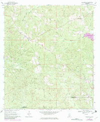
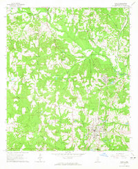
1969 Map of Baxterville
USGS Topo · Published 1982About this map
Baxterville sits at the heart of this coastal plain landscape, characterized by a complex network of wetlands and creek branches. The presence of the Baxterville Oil And Gas Field and numerous pipelines indicates the mid-century industrial importance of the region, while the Old Railroad Grade and a Wagon Track suggest older transportation patterns that predated the modern road network.
Find a feature on this map
31 named features on this map. Tap any name to fly to it.
Don’t see what you’re looking for? This feature index may not catch every label — zoom into the map to look around manually.
Map Details
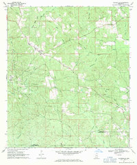
Editions of this 1969 Baxterville Map
2 editions found
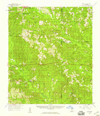
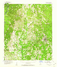
Other maps of this area

1953 · Hattiesburg
USGS Topo · 1:250,000

1953 · Mobile
USGS Topo · 1:250,000

1957 · Mobile
USGS Topo · 1:250,000

1958 · Hattiesburg
USGS Topo · 1:250,000
1958 · Carnes
USGS Topo · 1:62,500
1959 · Poplarville
USGS Topo · 1:62,500

1960 · Mobile
USGS Topo · 1:250,000

1963 · Mobile
USGS Topo · 1:250,000
1964 · Purvis
USGS Topo · 1:24,000
1964 · Lumberton
USGS Topo · 1:24,000