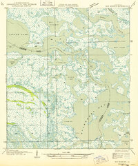
1949 Map of Bay Dosgris
USGS Topo · Published 1949About this map
Alombro Cem stands as a solitary inland landmark amidst the labyrinthine wetlands of the Jefferson and Lafourche Parish boundary. This intricate network of coastal waterways is dominated by the broad expanse of Hackberry Bay and the meandering path of Grand Bayou. The landscape is defined by the complex transitions between open water and marsh, where smaller channels like Manila Bayou and Snail Bayou connect larger bodies like St Joseph Bay and Little Lake.
Find a feature on this map
26 named features on this map. Tap any name to fly to it.
Don’t see what you’re looking for? This feature index may not catch every label — zoom into the map to look around manually.
Map Details
Editions of this 1949 Bay Dosgris Map
2 editions found
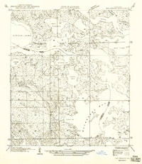
Other maps of this area

1891 · Pointe a La Hache
USGS Topo · 1:62,500

1892 · Barataria
USGS Topo · 1:62,500

1892 · Creole
USGS Topo · 1:62,500

1892 · Pointe a La Hache
USGS Topo · 1:62,500

1893 · Fort Livingston
USGS Topo · 1:62,500

1935 · Mink Bayou
USGS Topo · 1:31,680

1935 · Wilkinson Bay
USGS Topo · 1:31,680

1939 · Pointe a La Hache
USGS Topo · 1:62,500

1941 · Barataria
USGS Topo · 1:62,500

1944 · Barataria
USGS Topo · 1:62,500