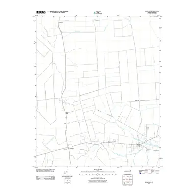
2010 Map of Bayboro
USGS Topo · Published 2010About this map
The coastal plains of Pamlico County are defined here by a extensive network of drainage and transport, centered on the community of Bayboro. This 2010 survey reveals a landscape where historical water management is evident through features like the Main Canal, Sawyer Canal, and the alphabetized A Canal, B Canal, and C Canal. These artificial waterways support the low-lying agricultural terrain surrounding settlements such as Grantsboro, Alliance, and the inland reaching Bay City along Whitehurst Creek.
Find a feature on this map
60 named features on this map. Tap any name to fly to it.
Don’t see what you’re looking for? This feature index may not catch every label — zoom into the map to look around manually.
Map Details
Editions of this 2010 Bayboro Map
This is the sole edition of this map. No revisions or reprints were ever made.
Other maps of this area

1948 · Oriental
USGS Topo · 1:24,000

1950 · Vandemere
USGS Topo · 1:24,000

1950 · South Creek
USGS Topo · 1:24,000

1950 · Aurora
USGS Topo · 1:24,000

1950 · Edward
USGS Topo · 1:24,000

1950 · Upper Broad Creek
USGS Topo · 1:24,000

1950 · Arapahoe
USGS Topo · 1:24,000

1951 · Arapahoe
USGS Topo · 1:24,000

1951 · Upper Broad Creek
USGS Topo · 1:24,000

1953 · Rocky Mount
USGS Topo · 1:250,000