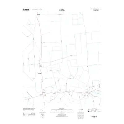
2013 Map of Bayboro
USGS Topo · Published 2013About this map
Bayboro serves as a focal point in this coastal plain landscape, situated along the Bay River and its northern tributaries. The settlement pattern is defined by a series of small communities including Alliance, Grantsboro, and Silver Hill, linked by a network of rural roads that cross a terrain heavily modified by drainage infrastructure. The presence of numerous engineered waterways, such as the Bonner Canal, Sawyer Canal, and Sandhill Canal, indicates a landscape deeply connected to water management and agricultural utility. To the northeast, the Pamlico Airport stands near the confluence of Raccoon Cr and the river, while the northern reaches of the quadrangle transition toward South Cr and the settlement of Prescott. This 2013 survey provides a clear view of the contemporary transportation corridors and the persistent hydrographic features that define this part of Pamlico County.
Find a feature on this map
82 named features on this map. Tap any name to fly to it.
Don’t see what you’re looking for? This feature index may not catch every label — zoom into the map to look around manually.
Map Details
Editions of this 2013 Bayboro Map
This is the sole edition of this map. No revisions or reprints were ever made.
Other maps of this area

1948 · Oriental
USGS Topo · 1:24,000

1950 · Vandemere
USGS Topo · 1:24,000

1950 · South Creek
USGS Topo · 1:24,000

1950 · Aurora
USGS Topo · 1:24,000

1950 · Edward
USGS Topo · 1:24,000

1950 · Upper Broad Creek
USGS Topo · 1:24,000

1950 · Arapahoe
USGS Topo · 1:24,000

1951 · Arapahoe
USGS Topo · 1:24,000

1951 · Upper Broad Creek
USGS Topo · 1:24,000

1953 · Rocky Mount
USGS Topo · 1:250,000