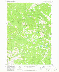
1963 Map of Bayhorse Lake
USGS Topo · Published 1980About this map
Challis National Forest dominates this high-altitude landscape of central Idaho as it was recorded during the early 1960s. Evidence of early settlement and travel through these steep drainages is visible in the presence of Tollgate Ruins along Mill Creek and the Bruno Cabin Ruins near Garden Creek. The map shows a clear division between the high ridges, such as Buffalo Ridge and Mill Creek Summit, and the low basins where water and recreation converge. Bayhorse Lake and Little Bayhorse Lake serve as focal points for the southeastern portion of the sheet, supported by the Bayhorse Campground. In the south, the settlement of Juliette sits near the head of the Basin, while numerous labeled drainages like Rough Creek and Squaw Creek carve out the mountainous terrain. The intricate network of Jeep Trails and footpaths underscores the area's history as a place for both resource extraction and backcountry exploration.
Find a feature on this map
33 named features on this map. Tap any name to fly to it.
Don’t see what you’re looking for? This feature index may not catch every label — zoom into the map to look around manually.
Map Details
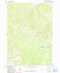
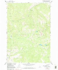
Editions of this 1963 Bayhorse Lake Map
4 editions found

Other maps of this area

1919 · Custer
USGS Topo · 1:125,000

1922 · Custer
USGS Topo · 1:125,000

1929 · Bayhorse
USGS Topo · 1:125,000

1930 · Casto
USGS Topo · 1:125,000

1956 · Twin Peaks
USGS Topo · 1:62,500

1957 · Challis
USGS Topo · 1:250,000

1960 · Challis
USGS Topo · 1:250,000

1963 · Challis
USGS Topo · 1:250,000

1963 · Challis Creek Lakes
USGS Topo · 1:24,000

1963 · Bald Mountain
USGS Topo · 1:24,000