
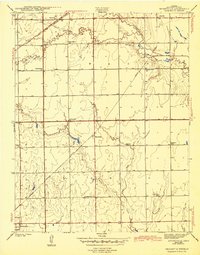
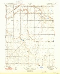
1943 Map of Bayneville
USGS Topo · Published 1943About this map
Schulte and Oatville anchor the northern landscape of this Sedgwick County survey, where the Atchison Topeka and Santa Fe railroad cuts across the grain of the prairie. The rural economy of the early 1940s is traced through a dense network of country school districts, including Spring Bank Sch, Brooklyn Sch, and Mayflower Sch, reflecting the community structure of central Kansas before mid-century school consolidations.
Find a feature on this map
23 named features on this map. Tap any name to fly to it.
Don’t see what you’re looking for? This feature index may not catch every label — zoom into the map to look around manually.
Map Details
Editions of this 1943 Bayneville Map
3 editions found
Other maps of this area

1889 · Cheney
USGS Topo · 1:125,000

1889 · Wichita
USGS Topo · 1:125,000

1889 · Caldwell
USGS Topo · 1:125,000

1890 · Wellington
USGS Topo · 1:125,000

1891 · Cheney
USGS Topo · 1:125,000

1893 · Caldwell
USGS Topo · 1:125,000

1894 · Wichita
USGS Topo · 1:125,000

1897 · Caldwell
USGS Topo · 1:125,000

1901 · Cheney
USGS Topo · 1:125,000

1943 · Wichita West
USGS Topo · 1:31,680