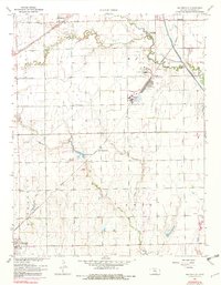
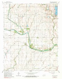
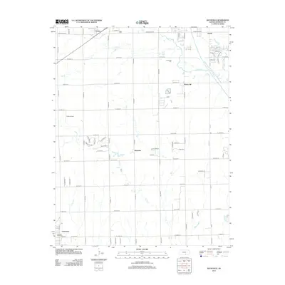
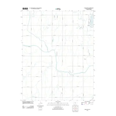
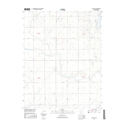
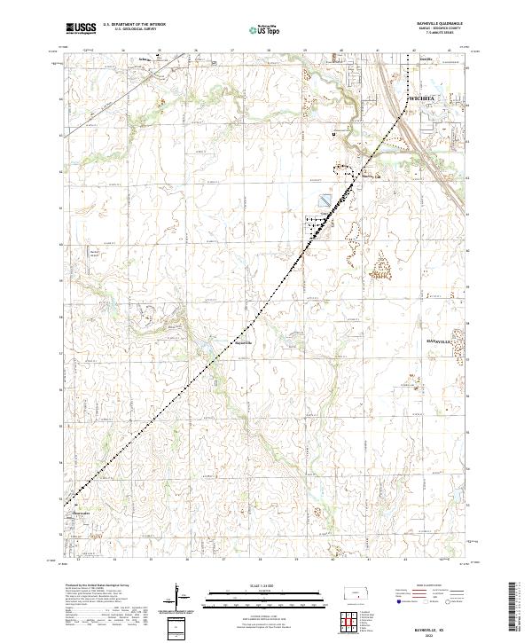
1961 Map of Bayneville
USGS Topo · Published 1982About this map
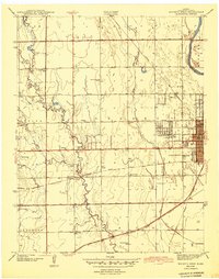
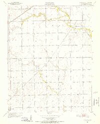
Agricultural lands and rail-driven settlements define this 1961 survey of south-central Kansas. The Missouri Pacific railroad cuts a diagonal path through the terrain, connecting the small communities of Schulte, Oatville, and Bayneville. This corridor represents the vital transportation network of the early 1960s, supporting grain elevators and industrial sites like the one near Oatville. The landscape is etched by a series of waterways, most notably Cowskin Creek and its meandering tributaries including Dry Creek and Spring Creek.
Find a feature on this map
10 named features on this map. Tap any name to fly to it.
Don’t see what you’re looking for? This feature index may not catch every label — zoom into the map to look around manually.
Map Details
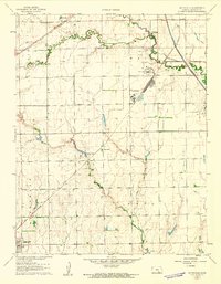
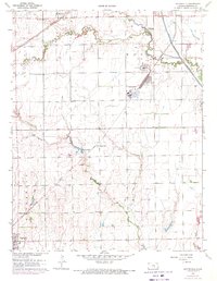
Editions of this 1961 Bayneville Map
3 editions found
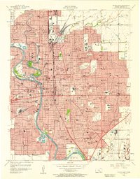
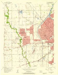
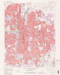
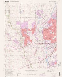
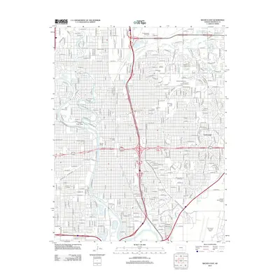
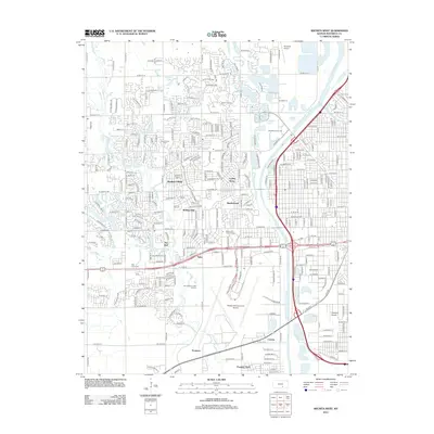
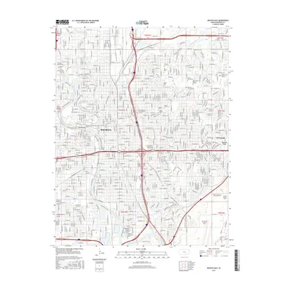
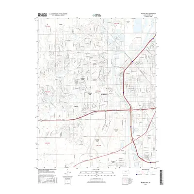
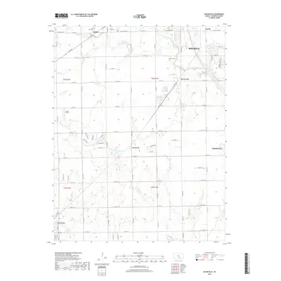
Historical Maps of Wichita Through Time
30 maps found
1943 Bayneville
Sedgwick County, KS

1943 Wichita East
Sedgwick County, KS
1943 Wichita West
Sedgwick County, KS
1950 Bayneville
Sedgwick County, KS
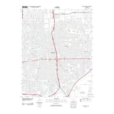
1956 Wichita East
Sedgwick County, KS
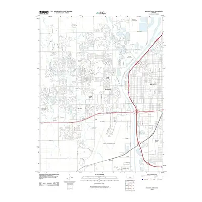
1956 Wichita West
Sedgwick County, KS
1961 Bayneville
Sedgwick County, KS
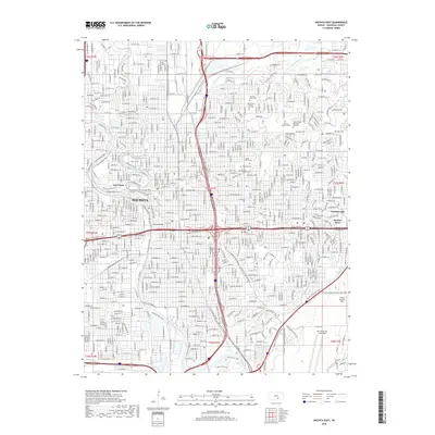
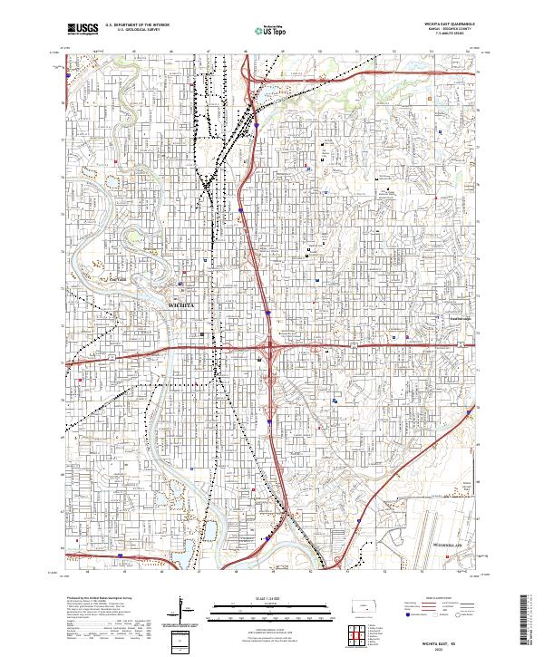
1961 Wichita East
Sedgwick County, KS
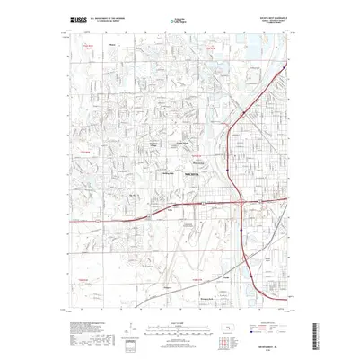
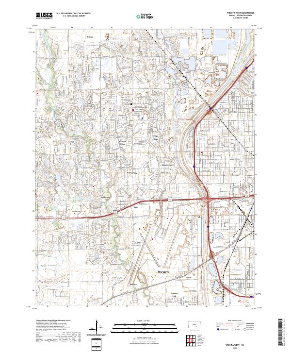
1961 Wichita West
Sedgwick County, KS
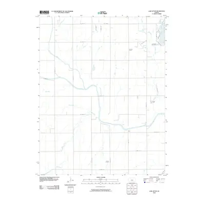
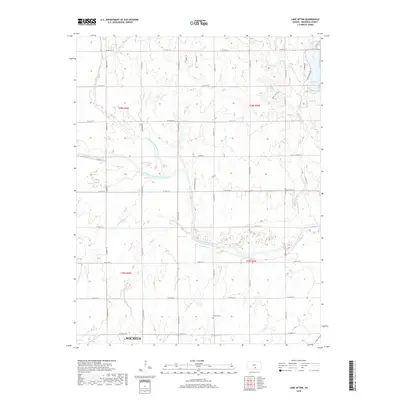
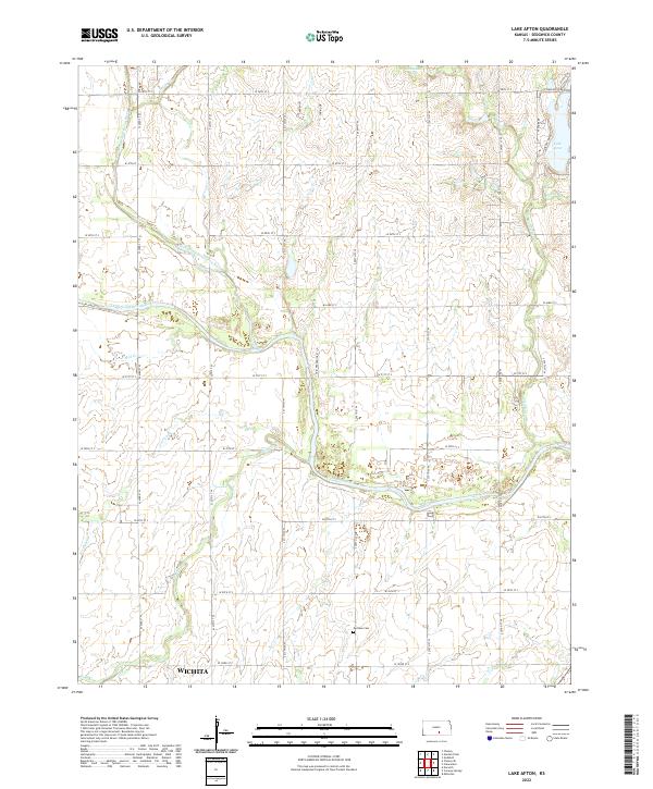
1965 Lake Afton
Sedgwick County, KS
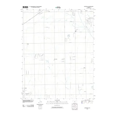
2009 Bayneville
Sedgwick County, KS
2009 Lake Afton
Sedgwick County, KS
2010 Wichita East
Sedgwick County, KS
2010 Wichita West
Sedgwick County, KS
2012 Bayneville
Sedgwick County, KS
2012 Lake Afton
Sedgwick County, KS
2012 Wichita East
Sedgwick County, KS
2012 Wichita West
Sedgwick County, KS
2015 Bayneville
Sedgwick County, KS
2015 Lake Afton
Sedgwick County, KS
2015 Wichita East
Sedgwick County, KS
2015 Wichita West
Sedgwick County, KS
2018 Bayneville
Sedgwick County, KS
2018 Lake Afton
Sedgwick County, KS
2018 Wichita East
Sedgwick County, KS
2018 Wichita West
Sedgwick County, KS
2022 Bayneville
Sedgwick County, KS
2022 Lake Afton
Sedgwick County, KS
2022 Wichita East
Sedgwick County, KS
2023 Wichita West
Sedgwick County, KS