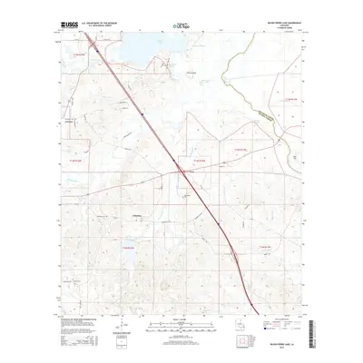
2015 Map of Bayou Pierre Lake
USGS Topo · Published 2015About this map
Naborton and the surrounding DeSoto Parish landscape are defined by a complex network of waterways and rural settlements captured in this 2015 survey. The hydrology of the region is notably intricate, featuring Clear Lake, Smithport Lake, and the winding course of Bayou Pierre. The map documents a distinct pattern of small communities such as Goss and Carmel, which are connected by a web of local routes including the Naborton Cutoff and Power Plant Rd. For those researching local heritage, the map identifies several critical points of interest, including the Woodvine Cem, Bethlehem Cem, and Truevine Cem. These landmarks, alongside features like Chicot Island and Paps Hill, provide a detailed view of the physical and social geography of northwestern Louisiana in the early 21st century.
Find a feature on this map
54 named features on this map. Tap any name to fly to it.
Don’t see what you’re looking for? This feature index may not catch every label — zoom into the map to look around manually.
Map Details
Editions of this 2015 Bayou Pierre Lake Map
This is the sole edition of this map. No revisions or reprints were ever made.
Other maps of this area

1938 · Chemard Lake
USGS Topo · 1:31,680

1941 · East Point
USGS Topo · 1:31,680

1941 · Pelican
USGS Topo · 1:62,500

1943 · Pleasant Hill
USGS Topo · 1:62,500

1944 · Pleasant Hill
USGS Topo · 1:62,500

1945 · Mansfield
USGS Topo · 1:62,500

1947 · Mansfield
USGS Topo · 1:62,500

1947 · Hanna
USGS Topo · 1:62,500

1948 · Coushatta
USGS Topo · 1:62,500

1953 · Alexandria
USGS Topo · 1:250,000