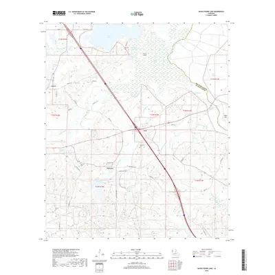
2018 Map of Bayou Pierre Lake
USGS Topo · Published 2018About this map
Carmel, Goss, and Naborton anchor this DeSoto Parish landscape, where the meandering course of Bayou Pierre and its adjacent wetlands dominate the northeastern terrain. The map reveals a complex network of waterways, including Smithport Lake and Bayou Pierre Lake, separated by Chicot Island and connected via the Sampson Channel. This area shows a transition from the saturated lowlands of the bayou system to the more developed uplands to the south and west.
Find a feature on this map
50 named features on this map. Tap any name to fly to it.
Don’t see what you’re looking for? This feature index may not catch every label — zoom into the map to look around manually.
Map Details
Editions of this 2018 Bayou Pierre Lake Map
This is the sole edition of this map. No revisions or reprints were ever made.
Other maps of this area

1938 · Chemard Lake
USGS Topo · 1:31,680

1941 · East Point
USGS Topo · 1:31,680

1941 · Pelican
USGS Topo · 1:62,500

1943 · Pleasant Hill
USGS Topo · 1:62,500

1944 · Pleasant Hill
USGS Topo · 1:62,500

1945 · Mansfield
USGS Topo · 1:62,500

1947 · Mansfield
USGS Topo · 1:62,500

1947 · Hanna
USGS Topo · 1:62,500

1948 · Coushatta
USGS Topo · 1:62,500

1953 · Alexandria
USGS Topo · 1:250,000