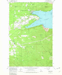
1967 Map of Bayview
USGS Topo · Published 1982About this map
Lake Pend Oreille dominates the eastern shoreline of this northern Idaho landscape, where the waters of Scenic Bay and Idlewilde Bay meet the sprawling grounds of Farragut State Park. The transition from naval history to public recreation is evident, with the map noting a Naval Reservation, a Naval Laboratory, and various infrastructure like an Amphitheater and Rifle Range. To the south and west, the terrain rises sharply into the Kaniksu National Forest and Coeur d'Alene National Forest, marked by peaks such as Chilco Mountain and the Bernard Peak Lookout. Local history is captured in smaller settlements like Bunco Corners and Lewellen, along with the industrial footprint of numerous Borrow Pits and an Old Railroad Grade. This mid-century survey illustrates the era's balance between military activity, timber land management, and the emerging identity of the lakefront as a regional recreational hub.
Find a feature on this map
56 named features on this map. Tap any name to fly to it.
Don’t see what you’re looking for? This feature index may not catch every label — zoom into the map to look around manually.
Map Details
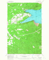
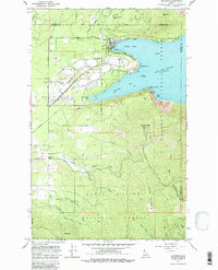
Editions of this 1967 Bayview Map
3 editions found
Other maps of this area

1901 · Sandpoint
USGS Topo · 1:125,000

1903 · Rathdrum
USGS Topo · 1:125,000

1909 · Cataldo
USGS Topo · 1:125,000

1911 · Cataldo
USGS Topo · 1:125,000

1911 · Priest Lake
USGS Topo · 1:250,000

1911 · Sandpoint
USGS Topo · 1:125,000

1913 · Priest Lake
USGS Topo · 1:250,000

1949 · Packsaddle Mtn
USGS Topo · 1:62,500

1951 · Packsaddle Mtn
USGS Topo · 1:62,500

1955 · Spokane
USGS Topo · 1:250,000