
1949 Map of Baywood
USGS Topo · Published 1953About this map
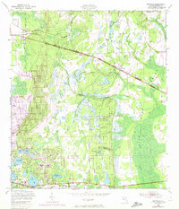
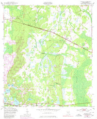
The rural landscapes of Putnam County in the late 1940s are defined by a complex network of wetlands and small agricultural settlements connected by major rail lines. Southern railroad tracks bisect the northern half of the region, passing through the small communities of Baywood and Carraway, while the Atlantic Coast Line runs along the southern edge near Interlachen. This era shows a distinctive blend of natural features and early industry, including Peat Cuttings located along a canal in the northwest. The topography is dominated by the vast Rice Creek Swamp and a high concentration of small lakes with descriptive local names like Up and Down Lake, Boll Green Lake, and Church Lake. In the southwest, the Mannville Cem serves as a genealogical anchor for the community of Mannville, situated near the shoreline of Ida Lake.
Find a feature on this map
23 named features on this map. Tap any name to fly to it.
Don’t see what you’re looking for? This feature index may not catch every label — zoom into the map to look around manually.
Map Details
Editions of this 1949 Baywood Map
3 editions found
Other maps of this area

1912 · Palatka
USGS Topo · 1:48,000

1915 · Palatka
USGS Topo · 1:62,500

1915 · Interlachen
USGS Topo · 1:48,000

1916 · Interlachen
USGS Topo · 1:62,500

1942 · Ates Creek
USGS Topo · 1:62,500

1944 · Interlachen
USGS Topo · 1:62,500

1947 · Bostwick
USGS Topo · 1:50,000

1949 · Rice Creek
USGS Topo · 1:24,000

1949 · Bostwick
USGS Topo · 1:24,000

1949 · Keuka
USGS Topo · 1:24,000