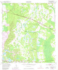
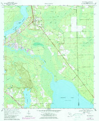
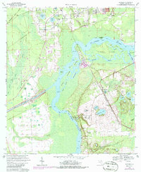
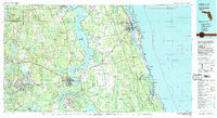
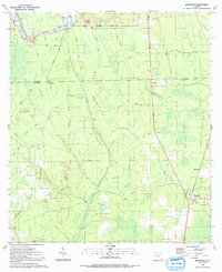
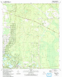
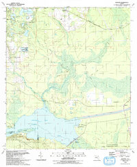
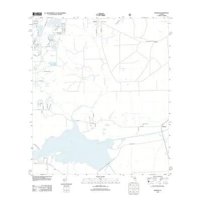
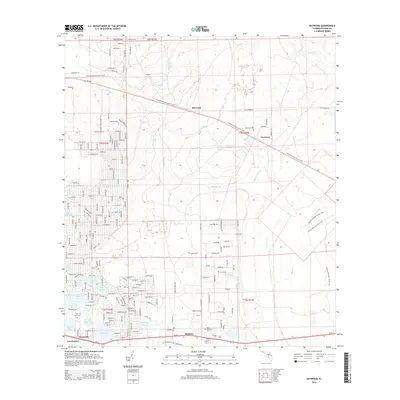
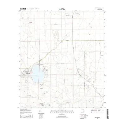
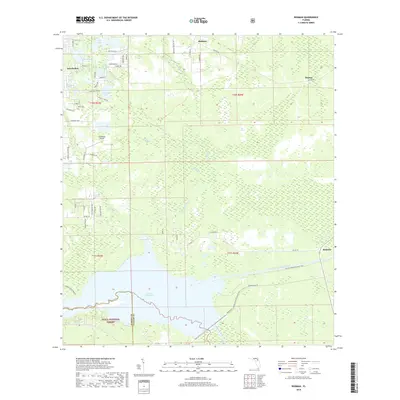
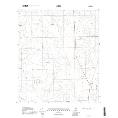
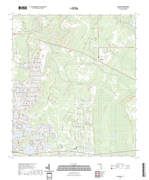
1949 Map of Baywood
USGS Topo · Published 1980About this map
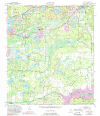
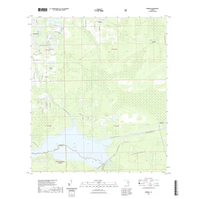
Mannville and Interlachen anchor the southern reaches of this Northeast Florida landscape, where a transition from dry sand hills to extensive wetlands occurs. Early mid-century development is visible along the Seaboard Coast Line railroad, which parallels a dense cluster of water bodies including Lake Ida, Up and Down Lake, and Boll Green Lake. The local economy of the era is evidenced by Peat Cuttings near the northern boundary, reflecting the region's reliance on its unique soil and geological resources.
Find a feature on this map
23 named features on this map. Tap any name to fly to it.
Don’t see what you’re looking for? This feature index may not catch every label — zoom into the map to look around manually.
Map Details
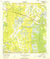
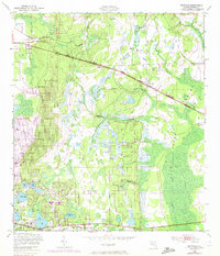
Editions of this 1949 Baywood Map
3 editions found
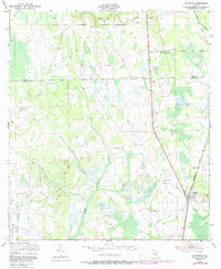
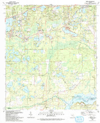
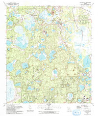
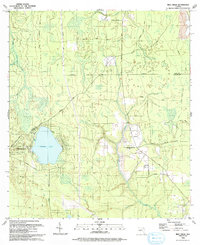
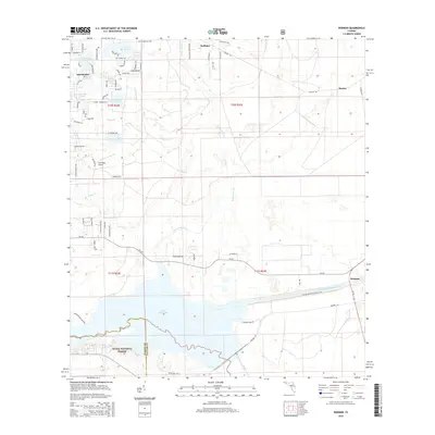
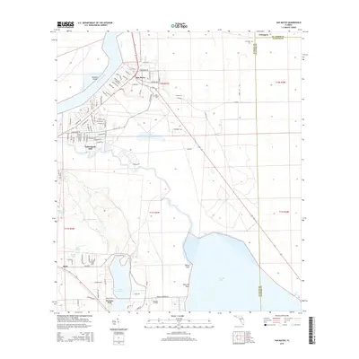
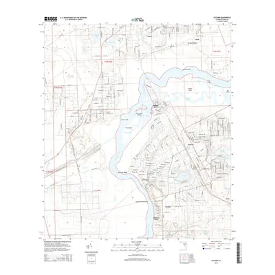
Historical Maps of Interlachen Through Time
55 maps found
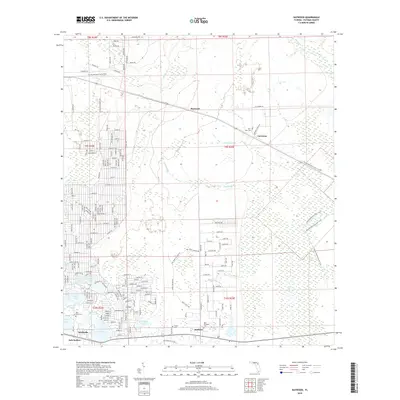
1949 Baywood
Putnam County, FL
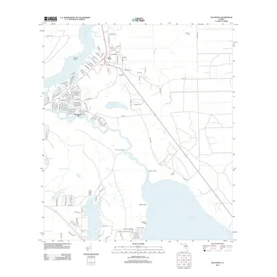
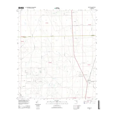
1949 Bostwick
Putnam County, FL
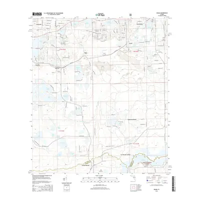
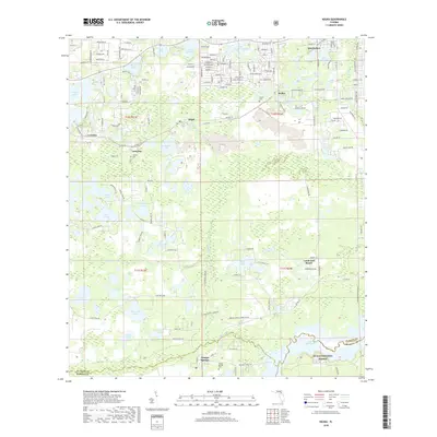
1949 Keuka
Putnam County, FL
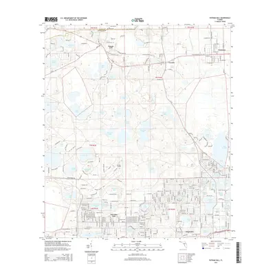
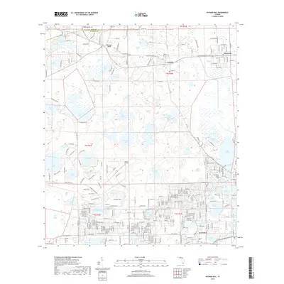
1949 Putnam Hall
Putnam County, FL
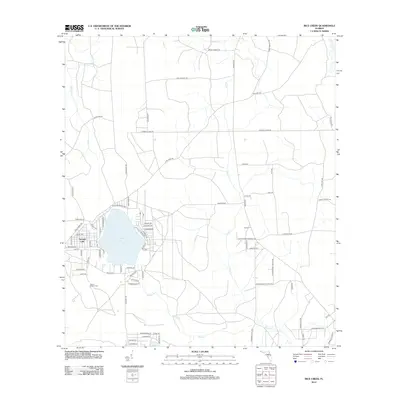
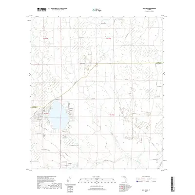
1949 Rice Creek
Putnam County, FL
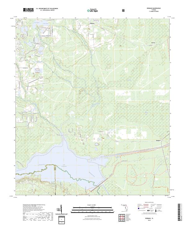
1949 Rodman
Putnam County, FL
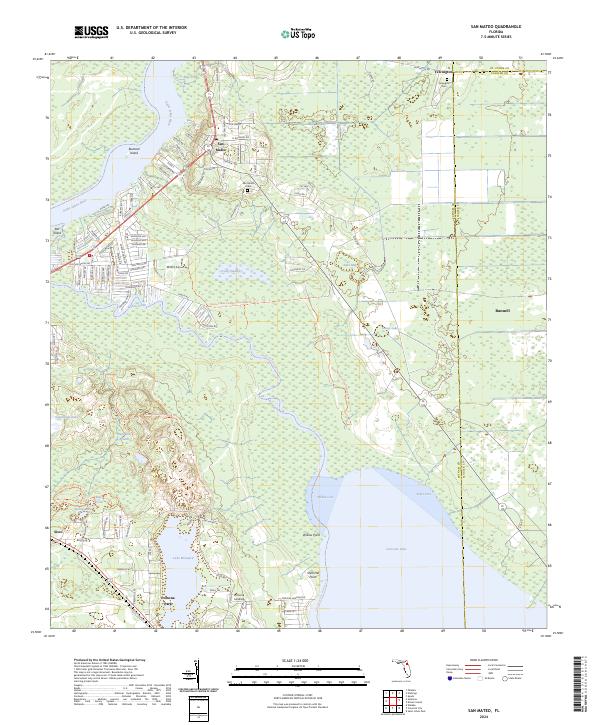
1968 San Mateo
Putnam County, FL
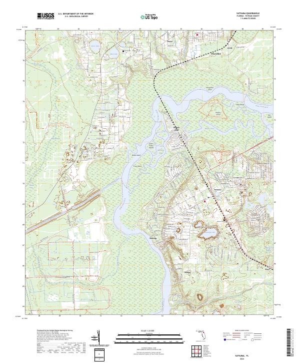
1968 Satsuma
Putnam County, FL
1981 Saint Augustine
Putnam County, FL
1991 Bostwick
Putnam County, FL
1993 Baywood
Putnam County, FL
1993 Keuka
Putnam County, FL
1993 Putnam Hall
Putnam County, FL
1993 Rice Creek
Putnam County, FL
1993 Rodman
Putnam County, FL
2012 Baywood
Putnam County, FL

2012 Bostwick
Putnam County, FL
2012 Keuka
Putnam County, FL
2012 Putnam Hall
Putnam County, FL
2012 Rice Creek
Putnam County, FL
2012 Rodman
Putnam County, FL
2012 San Mateo
Putnam County, FL
2012 Satsuma
Putnam County, FL
2015 Baywood
Putnam County, FL
2015 Bostwick
Putnam County, FL
2015 Keuka
Putnam County, FL
2015 Putnam Hall
Putnam County, FL
2015 Rice Creek
Putnam County, FL
2015 Rodman
Putnam County, FL
2015 San Mateo
Putnam County, FL
2015 Satsuma
Putnam County, FL
2018 Baywood
Putnam County, FL

2018 Bostwick
Putnam County, FL
2018 Keuka
Putnam County, FL
2018 Putnam Hall
Putnam County, FL
2018 Rice Creek
Putnam County, FL
2018 Rodman
Putnam County, FL
2018 San Mateo
Putnam County, FL
2018 Satsuma
Putnam County, FL
2021 Baywood
Putnam County, FL
2021 Bostwick
Putnam County, FL
2021 Keuka
Putnam County, FL
2021 Putnam Hall
Putnam County, FL
2021 Rice Creek
Putnam County, FL
2021 Rodman
Putnam County, FL
2021 San Mateo
Putnam County, FL
2021 Satsuma
Putnam County, FL
2024 Baywood
Putnam County, FL
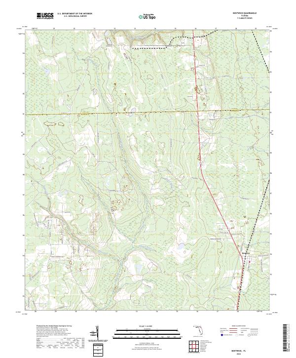
2024 Bostwick
Putnam County, FL
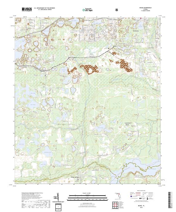
2024 Keuka
Putnam County, FL
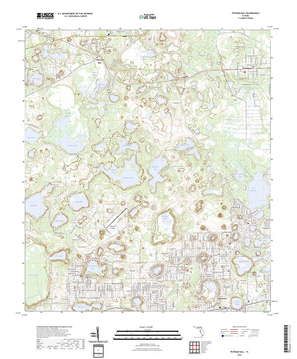
2024 Putnam Hall
Putnam County, FL
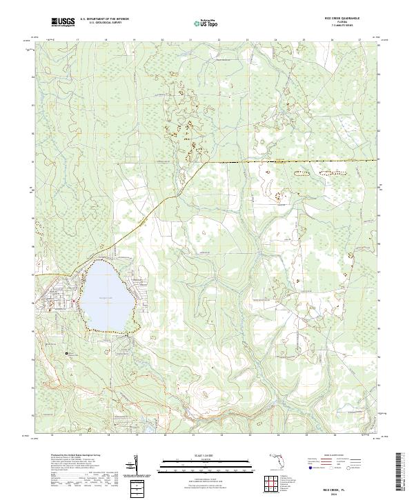
2024 Rice Creek
Putnam County, FL
2024 Rodman
Putnam County, FL
2024 San Mateo
Putnam County, FL
2024 Satsuma
Putnam County, FL