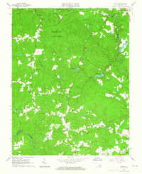
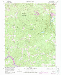
1963 Map of Beach
USGS Topo · Published 1965About this map
The Appomattox River forms the southwestern boundary of this Virginia landscape, separating Chesterfield Co from Dinwiddie Co in the early 1960s. The northern portion of the map is dominated by the sprawling canopy of Pocahontas State Forest and Pocahontas State Park, featuring recreational landmarks such as Swift Creek Lake and Camp Baker. The settlement of Beach sits at a crossroads near the forest edge, while the county seat at Chesterfield occupies the northeast corner.
Find a feature on this map
42 named features on this map. Tap any name to fly to it.
Don’t see what you’re looking for? This feature index may not catch every label — zoom into the map to look around manually.
Map Details
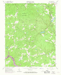
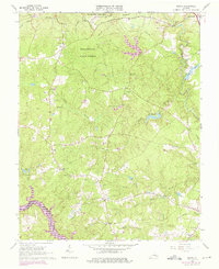
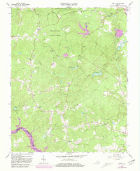
Editions of this 1963 Beach Map
5 editions found
Other maps of this area

1894 · Bermuda Hundred
USGS Topo · 1:62,500

1894 · Petersburg
USGS Topo · 1:62,500

1897 · Amelia
USGS Topo · 1:125,000

1938 · Drewrys Bluff
USGS Topo · 1:24,000

1943 · Chesterfield
USGS Topo · 1:31,680

1943 · Hallsboro
USGS Topo · 1:31,680

1943 · Beach
USGS Topo · 1:24,000

1943 · Church Road
USGS Topo · 1:24,000

1943 · Winterpock
USGS Topo · 1:24,000

1943 · Sutherland
USGS Topo · 1:24,000