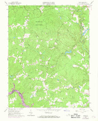
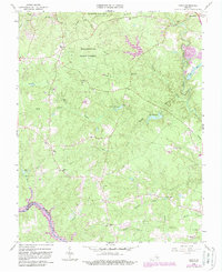
1963 Map of Beach
USGS Topo · Published 1969About this map
Pocahontas State Park and the surrounding Pocahontas State Forest dominate this mid-century landscape in Virginia, revealing a dense network of creeks and branches feeding into the Lake Chesdin Appomattox River. The map captures the area during a period of transition, with established communities like Beach and the Chesterfield county seat anchored by long-standing rural institutions.
Find a feature on this map
48 named features on this map. Tap any name to fly to it.
Don’t see what you’re looking for? This feature index may not catch every label — zoom into the map to look around manually.
Map Details
Editions of this 1963 Beach Map
5 editions found
Other maps of this area

1894 · Bermuda Hundred
USGS Topo · 1:62,500

1894 · Petersburg
USGS Topo · 1:62,500

1897 · Amelia
USGS Topo · 1:125,000

1938 · Drewrys Bluff
USGS Topo · 1:24,000

1943 · Chesterfield
USGS Topo · 1:31,680

1943 · Hallsboro
USGS Topo · 1:31,680

1943 · Beach
USGS Topo · 1:24,000

1943 · Church Road
USGS Topo · 1:24,000

1943 · Winterpock
USGS Topo · 1:24,000

1943 · Sutherland
USGS Topo · 1:24,000