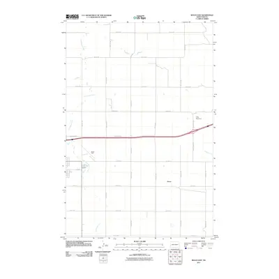
2011 Map of Beach East
USGS Topo · Published 2011About this map
Little Beaver Creek meanders across this Western North Dakota landscape, anchoring a rural grid of section roads and cattle country at the turn of the 21st century. The map provides a look at the area just east of the city of Beach, where the transportation network transitioned from historical routes like Old Hwy 10 to the modern corridor. A notable landmark is the Home on the Range Ranch, a site with deep ties to the regional community, situated near the headwaters of Andrews Creek.
Find a feature on this map
26 named features on this map. Tap any name to fly to it.
Don’t see what you’re looking for? This feature index may not catch every label — zoom into the map to look around manually.
Map Details
Editions of this 2011 Beach East Map
This is the sole edition of this map. No revisions or reprints were ever made.
Other maps of this area

1909 · Glendive
USGS Topo · 1:250,000

1953 · Miles City
USGS Topo · 1:250,000

1953 · Dickinson
USGS Topo · 1:250,000

1953 · Watford City
USGS Topo · 1:250,000

1954 · Glendive
USGS Topo · 1:250,000

1957 · Dickinson
USGS Topo · 1:250,000

1957 · Miles City
USGS Topo · 1:250,000

1957 · Glendive
USGS Topo · 1:250,000

1957 · Watford City
USGS Topo · 1:250,000

1958 · Miles City
USGS Topo · 1:250,000