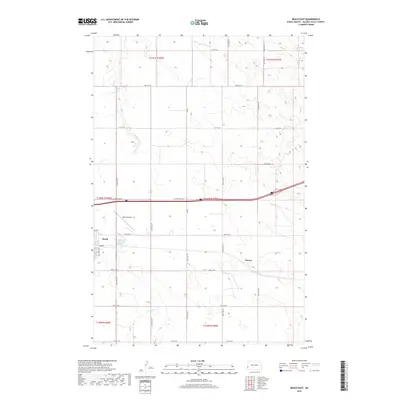
2019 Map of Beach East
USGS Topo · Published 2019About this map
Beach stands as the primary hub of this western North Dakota landscape, situated along a transportation corridor that reflects generations of prairie travel. The town's grid is anchored by Main St and 1st St SE, with Beach Airport located just to the northeast, serving the aviation needs of Golden Valley County. Outside the town limits, the terrain is defined by the winding paths of Little Beaver Cr and Andrews Cr, which cut through the high plains. The transition of long-distance transit is evident in the parallel alignments of Old Hwy 10 and the modern interstate frontage roads. To the east, the map identifies Chama, a named location along the southern reaches of the township, while a dense network of section-line roads like 30th St SW and 165th Ave SW provides access to the surrounding agricultural land.
Find a feature on this map
30 named features on this map. Tap any name to fly to it.
Don’t see what you’re looking for? This feature index may not catch every label — zoom into the map to look around manually.
Map Details
Editions of this 2019 Beach East Map
This is the sole edition of this map. No revisions or reprints were ever made.
Other maps of this area

1909 · Glendive
USGS Topo · 1:250,000

1953 · Miles City
USGS Topo · 1:250,000

1953 · Dickinson
USGS Topo · 1:250,000

1953 · Watford City
USGS Topo · 1:250,000

1954 · Glendive
USGS Topo · 1:250,000

1957 · Dickinson
USGS Topo · 1:250,000

1957 · Miles City
USGS Topo · 1:250,000

1957 · Glendive
USGS Topo · 1:250,000

1957 · Watford City
USGS Topo · 1:250,000

1958 · Miles City
USGS Topo · 1:250,000