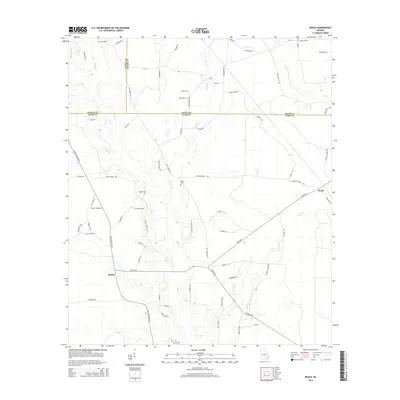
2014 Map of Beach
USGS Topo · Published 2014About this map
Bickley serves as a primary community hub in this rural Georgia landscape, situated at the junction of several county roads including Bickley Rd and Bickley Hwy. The terrain is defined by the winding paths of Hog Cr and Brushy Cr, which drain the lowlands between Coffee, Bacon, and Ware counties. For genealogists, the map identifies several local burial sites such as Bagley Cem, Moore Cem, and Cole Cem, many of which are located near family-named routes like Harold Jackson Ln and Earl Mullis Rd. To the east, the small settlement of Beach sits along Beach Rd near the banks of Cane Cr, illustrating the dispersed settlement pattern characteristic of the region’s agricultural and timber-linked history.
Find a feature on this map
72 named features on this map. Tap any name to fly to it.
Don’t see what you’re looking for? This feature index may not catch every label — zoom into the map to look around manually.
Map Details
Editions of this 2014 Beach Map
This is the sole edition of this map. No revisions or reprints were ever made.
Other maps of this area

1953 · Waycross
USGS Topo · 1:250,000

1958 · Waycross
USGS Topo · 1:250,000

1971 · Dixie Union
USGS Topo · 1:24,000

1971 · Nicholls
USGS Topo · 1:24,000

1971 · Wilsonville
USGS Topo · 1:24,000

1971 · Beach
USGS Topo · 1:24,000

1971 · Axson
USGS Topo · 1:24,000

1971 · Alma
USGS Topo · 1:24,000

1971 · Sessoms
USGS Topo · 1:24,000

1971 · Talmo
USGS Topo · 1:24,000