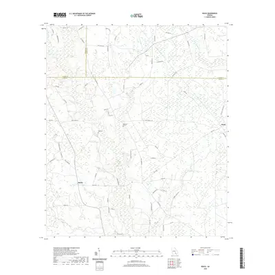
2020 Map of Beach
USGS Topo · Published 2020About this map
Bickley and Beach serve as the primary landmarks in this South Georgia landscape, where the borders of Coffee, Bacon, and Ware counties converge. The terrain is defined by a dense network of slow-moving waterways, including the winding Hurricane Cr and its tributary, Little Hurricane Cr, alongside Cane Cr and Mushy Cr. These wetlands dictate the rural road patterns, with routes like Bickley Rd and Beach Rd connecting scattered farmsteads and timber tracts across the coastal plain.
Find a feature on this map
67 named features on this map. Tap any name to fly to it.
Don’t see what you’re looking for? This feature index may not catch every label — zoom into the map to look around manually.
Map Details
Editions of this 2020 Beach Map
This is the sole edition of this map. No revisions or reprints were ever made.
Other maps of this area

1953 · Waycross
USGS Topo · 1:250,000

1958 · Waycross
USGS Topo · 1:250,000

1971 · Dixie Union
USGS Topo · 1:24,000

1971 · Nicholls
USGS Topo · 1:24,000

1971 · Wilsonville
USGS Topo · 1:24,000

1971 · Beach
USGS Topo · 1:24,000

1971 · Axson
USGS Topo · 1:24,000

1971 · Alma
USGS Topo · 1:24,000

1971 · Sessoms
USGS Topo · 1:24,000

1971 · Talmo
USGS Topo · 1:24,000