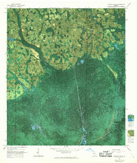
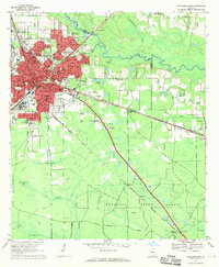
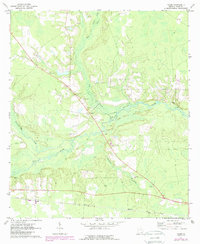
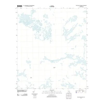
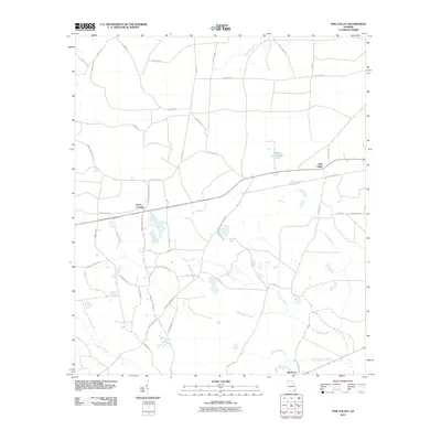
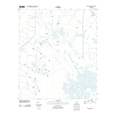
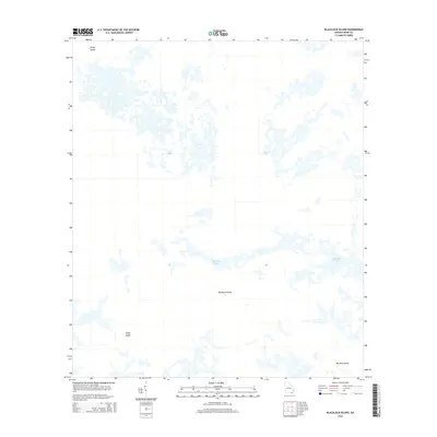
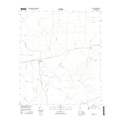
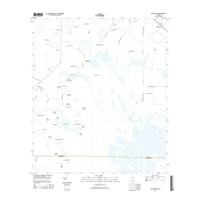
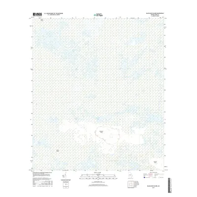
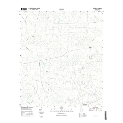
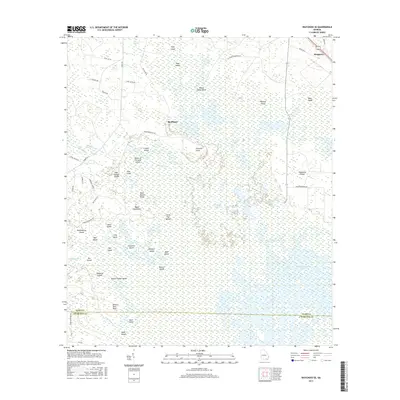
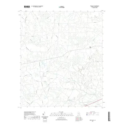
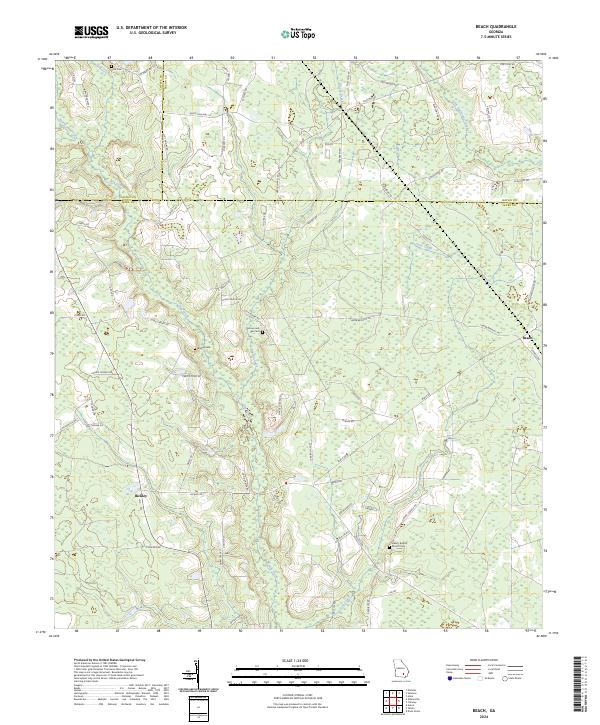
1971 Map of Beach
USGS Topo · Published 1988About this map
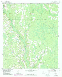
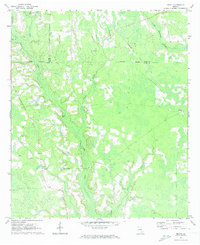
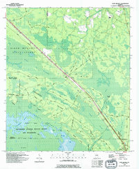
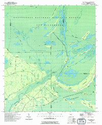
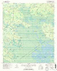
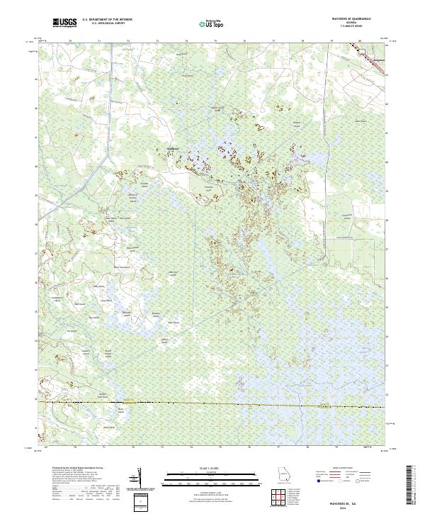
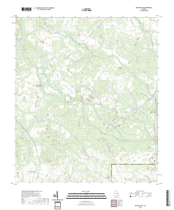
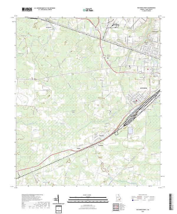
Hurricane Creek and its many tributaries, including Brushy Creek and Hog Creek, dominate this South Georgia landscape at the intersection of Ware, Bacon, and Coffee counties. The settlement pattern is defined by rural crossroads and family holdings, centered on the community of Bickley and the eponymous town of Beach. These small clusters supported agricultural life through local landmarks such as Grace Chapel and Salem Ch, while several family-named burial grounds like Moore Cem and Bagley Cem provide specific points of interest for genealogists tracing local lineage.
Find a feature on this map
20 named features on this map. Tap any name to fly to it.
Don’t see what you’re looking for? This feature index may not catch every label — zoom into the map to look around manually.
Map Details
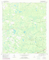
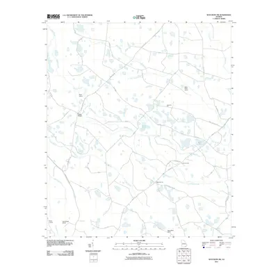
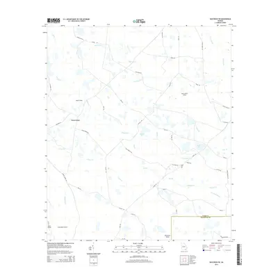
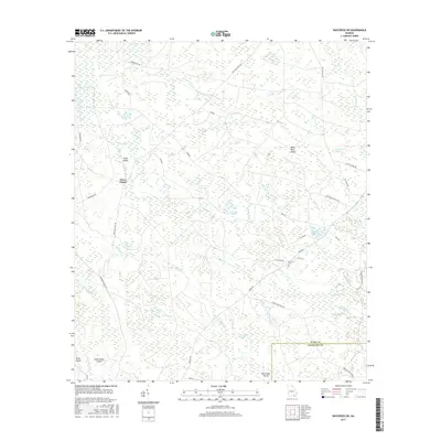
Editions of this 1971 Beach Map
2 editions found
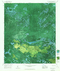
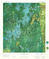
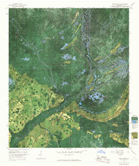
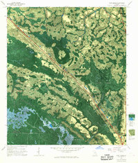
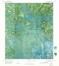
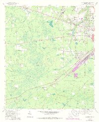
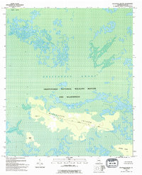
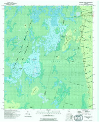
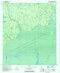
Historical Maps of Bickley Through Time
78 maps found
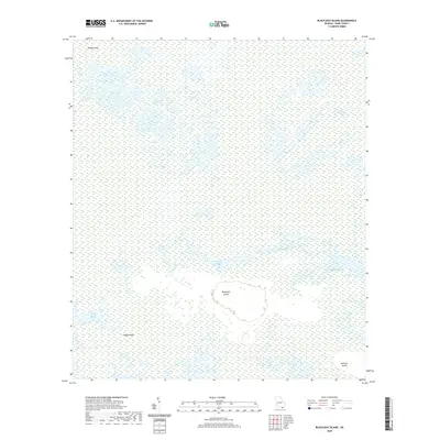
1965 Blackjack Island
Ware County, GA
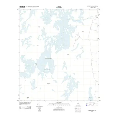
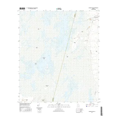
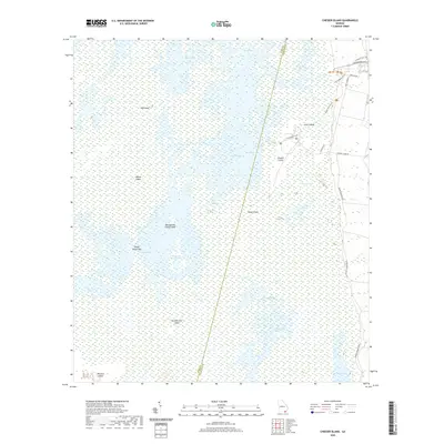
1965 Chesser Island
Ware County, GA
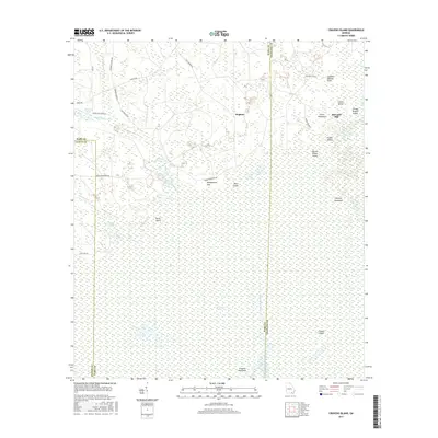
1966 Cravens Island
Ware County, GA
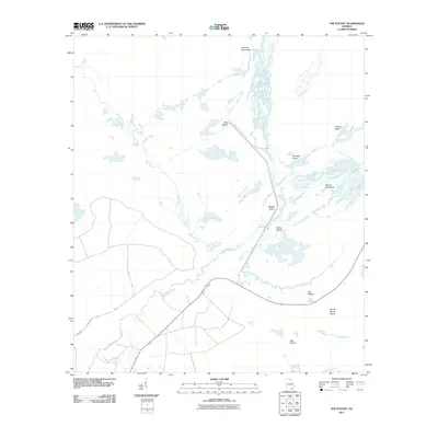
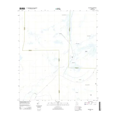
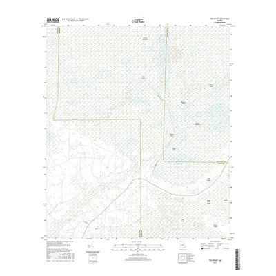
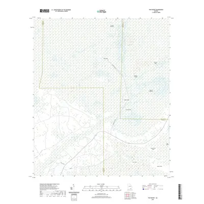
1966 The Pocket
Ware County, GA
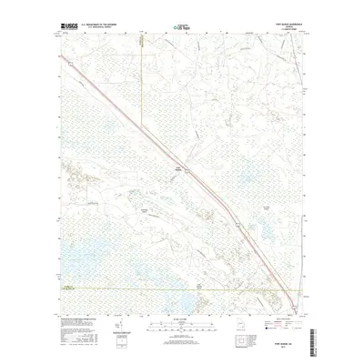
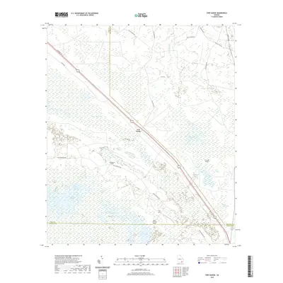
1967 Fort Mudge
Ware County, GA
1967 Pine Valley
Ware County, GA
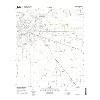
1967 Waycross East
Ware County, GA
1967 Waycross SE
Ware County, GA
1967 Waycross SW
Ware County, GA
1967 Waycross West
Ware County, GA
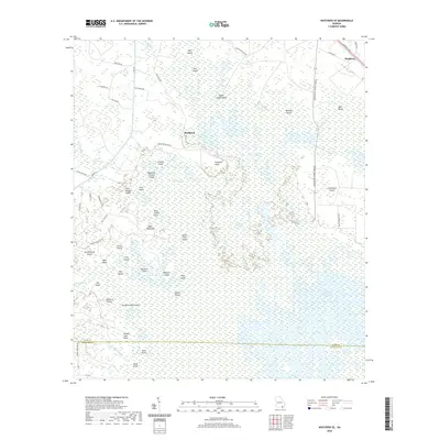
1971 Beach
Ware County, GA
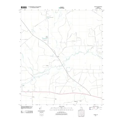
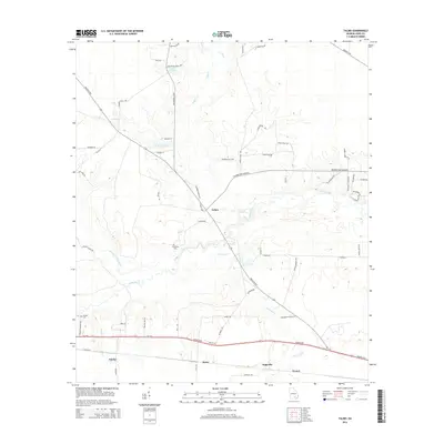
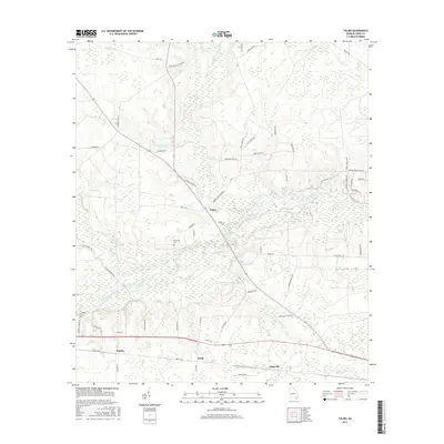
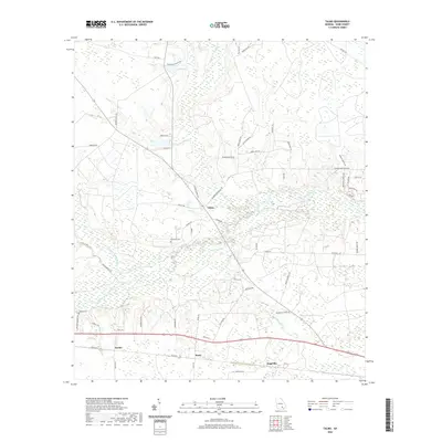
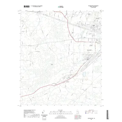
1971 Talmo
Ware County, GA
1994 Blackjack Island
Ware County, GA
1994 Chesser Island
Ware County, GA
1994 Cravens Island
Ware County, GA
1994 Fort Mudge
Ware County, GA
1994 The Pocket
Ware County, GA
1994 Waycross SE
Ware County, GA
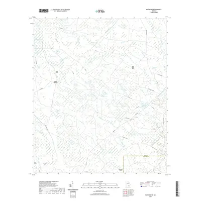
2011 Beach
Ware County, GA
2011 Blackjack Island
Ware County, GA
2011 Chesser Island
Ware County, GA
2011 Cravens Island
Ware County, GA
2011 Fort Mudge
Ware County, GA
2011 Pine Valley
Ware County, GA
2011 Talmo
Ware County, GA
2011 The Pocket
Ware County, GA
2011 Waycross East
Ware County, GA
2011 Waycross SE
Ware County, GA
2011 Waycross SW
Ware County, GA
2011 Waycross West
Ware County, GA
2014 Beach
Ware County, GA
2014 Blackjack Island
Ware County, GA
2014 Chesser Island
Ware County, GA
2014 Cravens Island
Ware County, GA
2014 Fort Mudge
Ware County, GA
2014 Pine Valley
Ware County, GA
2014 Talmo
Ware County, GA
2014 The Pocket
Ware County, GA
2014 Waycross East
Ware County, GA
2014 Waycross SE
Ware County, GA
2014 Waycross SW
Ware County, GA
2014 Waycross West
Ware County, GA
2017 Beach
Ware County, GA
2017 Blackjack Island
Ware County, GA
2017 Chesser Island
Ware County, GA
2017 Cravens Island
Ware County, GA
2017 Fort Mudge
Ware County, GA
2017 Pine Valley
Ware County, GA
2017 Talmo
Ware County, GA
2017 The Pocket
Ware County, GA
2017 Waycross East
Ware County, GA
2017 Waycross SE
Ware County, GA
2017 Waycross SW
Ware County, GA
2017 Waycross West
Ware County, GA
2020 Beach
Ware County, GA
2020 Blackjack Island
Ware County, GA
2020 Chesser Island
Ware County, GA
2020 Cravens Island
Ware County, GA
2020 Fort Mudge
Ware County, GA
2020 Pine Valley
Ware County, GA
2020 Talmo
Ware County, GA
2020 The Pocket
Ware County, GA
2020 Waycross East
Ware County, GA
2020 Waycross SE
Ware County, GA
2020 Waycross SW
Ware County, GA
2020 Waycross West
Ware County, GA
2024 Beach
Ware County, GA
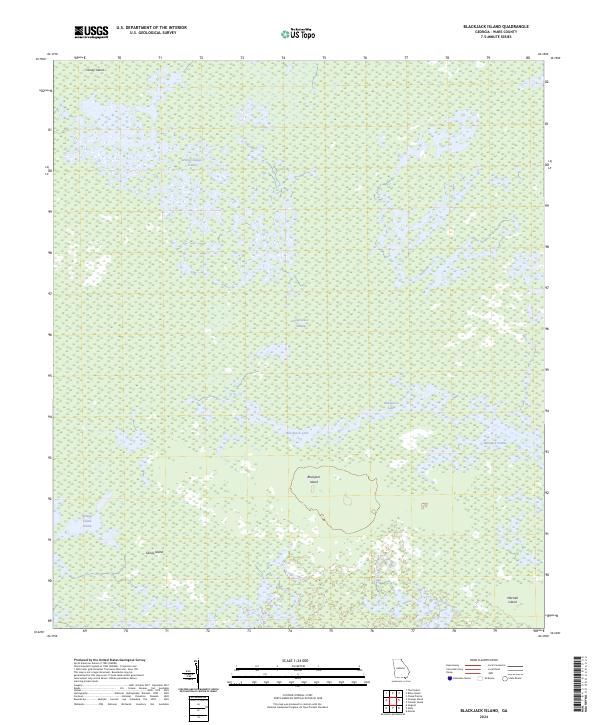
2024 Blackjack Island
Ware County, GA
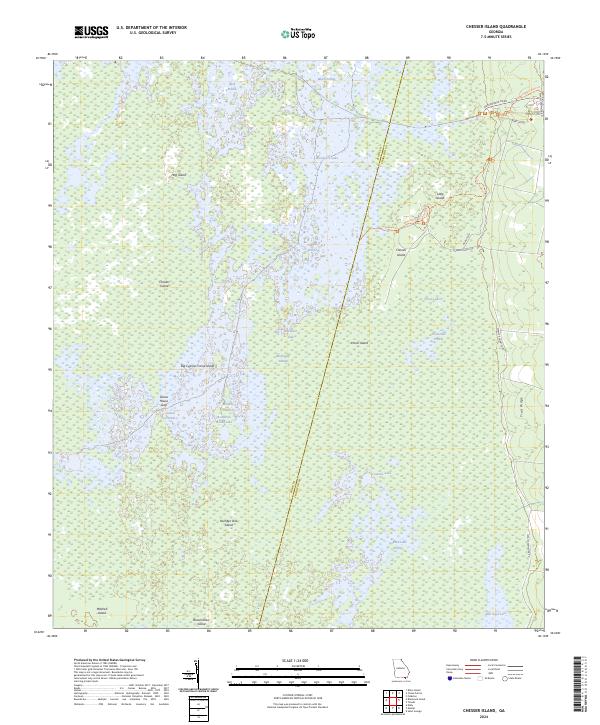
2024 Chesser Island
Ware County, GA
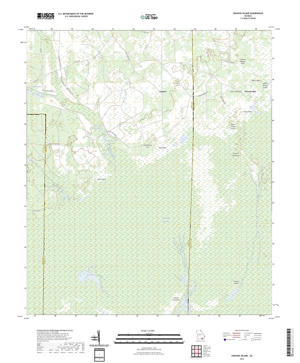
2024 Cravens Island
Ware County, GA
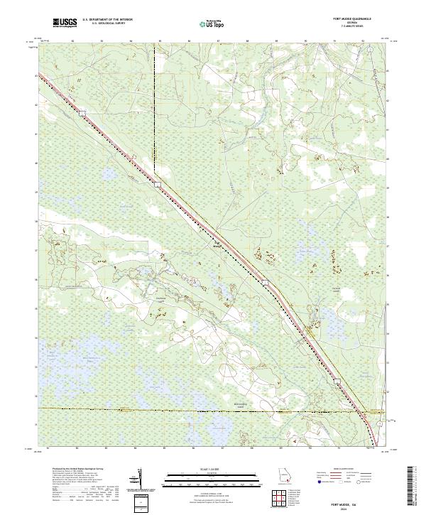
2024 Fort Mudge
Ware County, GA
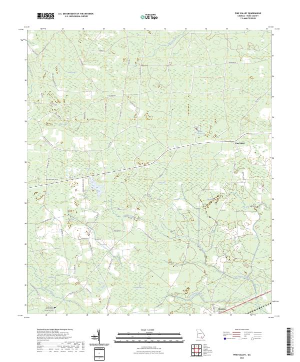
2024 Pine Valley
Ware County, GA
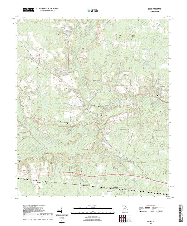
2024 Talmo
Ware County, GA
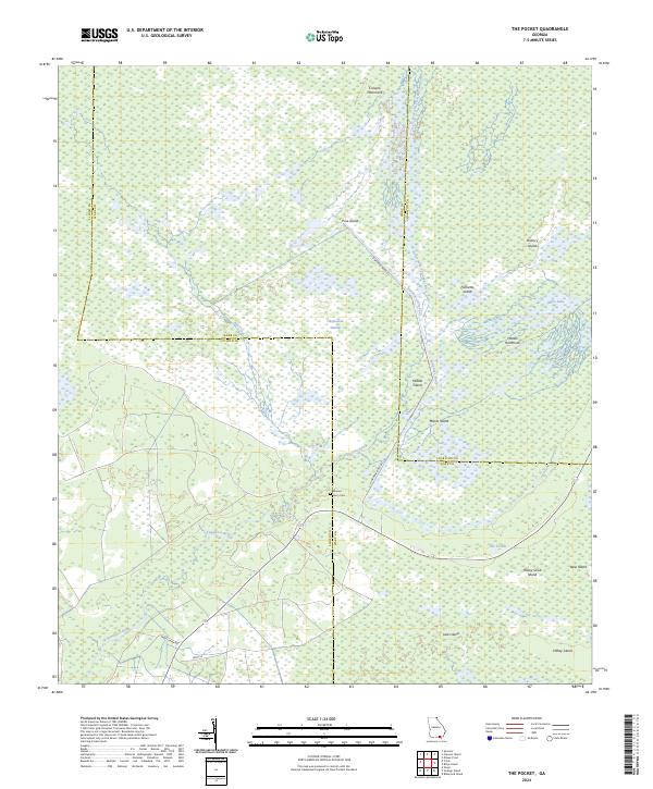
2024 The Pocket
Ware County, GA
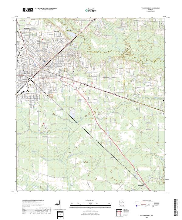
2024 Waycross East
Ware County, GA
2024 Waycross SE
Ware County, GA
2024 Waycross SW
Ware County, GA
2024 Waycross West
Ware County, GA