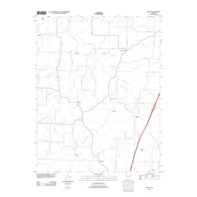
2011 Map of Beach
USGS Topo · Published 2011About this map
Forkners Hill and the small settlement of Beach anchor this region of Webster County, where the landscape is defined by the winding paths of the Niangua River and its multiple forks. The terrain transitions from river bottoms to prominent elevations like Jameson Bluff and Mill Bluff, which overlook the East Fork Niangua River and West Fork Niangua River. This 2011 survey documents a rural Missouri landscape where local heritage is preserved in the Marlin Cemetery, McElwain Cemetery, and Plank Cemetery. The proximity of the river systems suggests a long-standing reliance on these waterways for early transport and drainage, while the network of county roads like Co RD-658 and Beach RD connects isolated farmsteads and fields such as Beckner Field. The map provides a clear picture of the Ozark transition as it appeared in the early 21st century, balancing traditional rural settlements like Thorpe and Dermott with the geography of the river bluffs.
Find a feature on this map
71 named features on this map. Tap any name to fly to it.
Don’t see what you’re looking for? This feature index may not catch every label — zoom into the map to look around manually.
Map Details
Editions of this 2011 Beach Map
This is the sole edition of this map. No revisions or reprints were ever made.
Other maps of this area

1884 · Springfield
USGS Topo · 1:125,000

1884 · Bolivar
USGS Topo · 1:125,000

1886 · Springfield
USGS Topo · 1:125,000

1892 · Bolivar
USGS Topo · 1:125,000

1939 · Long Lane
USGS Topo · 1:62,500

1942 · Long Lane
USGS Topo · 1:62,500

1946 · Niangua
USGS Topo · 1:62,500

1947 · Strafford
USGS Topo · 1:62,500

1948 · Niangua
USGS Topo · 1:62,500

1948 · Strafford
USGS Topo · 1:62,500