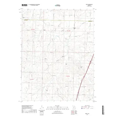
2017 Map of Beach
USGS Topo · Published 2017About this map
The Niangua River and its multiple forks carve through this borderland between Dallas and Webster Counties, defining a landscape of prominent overlooks and tight valleys. High points such as Jameson Bluff, Thompson Bluff, and Callaway Bluff stand above the meandering W Fork Niangua River and E Fork Niangua River. Settlement is concentrated along the ridge roads, with the small communities of Forkners Hill and Beach serving as local anchors.
Find a feature on this map
98 named features on this map. Tap any name to fly to it.
Don’t see what you’re looking for? This feature index may not catch every label — zoom into the map to look around manually.
Map Details
Editions of this 2017 Beach Map
This is the sole edition of this map. No revisions or reprints were ever made.
Other maps of this area

1884 · Springfield
USGS Topo · 1:125,000

1884 · Bolivar
USGS Topo · 1:125,000

1886 · Springfield
USGS Topo · 1:125,000

1892 · Bolivar
USGS Topo · 1:125,000

1939 · Long Lane
USGS Topo · 1:62,500

1942 · Long Lane
USGS Topo · 1:62,500

1946 · Niangua
USGS Topo · 1:62,500

1947 · Strafford
USGS Topo · 1:62,500

1948 · Niangua
USGS Topo · 1:62,500

1948 · Strafford
USGS Topo · 1:62,500