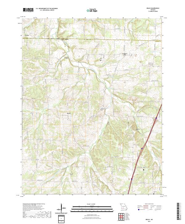
2021 Map of Beach
USGS Topo · Published 2021This historical map portrays the area of Beach in 2021, primarily covering Webster County as well as portions of Dallas County. Featuring a scale of 1:24000, this map provides a highly detailed snapshot of the terrain, roads, buildings, counties, and historical landmarks in the Beach region at the time. Published in 2021, it is the sole known edition of this map.
Map Details
Editions of this 2021 Beach Map
This is the sole edition of this map. No revisions or reprints were ever made.
Historical Maps of Thorpe Through Time
12 maps found
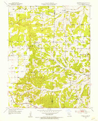
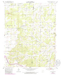
1951 Mansfield NW
Webster County, MO
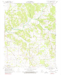
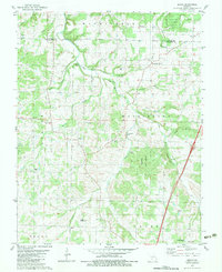
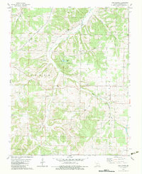
1970 Elkland
Webster County, MO
1970 Oak Grove Heights
Webster County, MO

1977 Mansfield NW
Webster County, MO
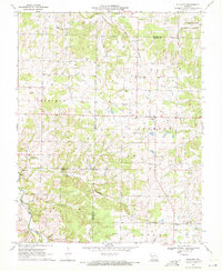
1982 Beach
Webster County, MO
1982 High Prairie
Webster County, MO
1985 Mansfield NW
Webster County, MO
2021 Beach
Webster County, MO
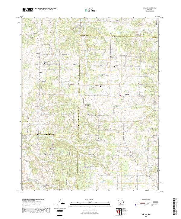
2021 Elkland
Webster County, MO
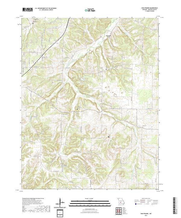
2021 High Prairie
Webster County, MO
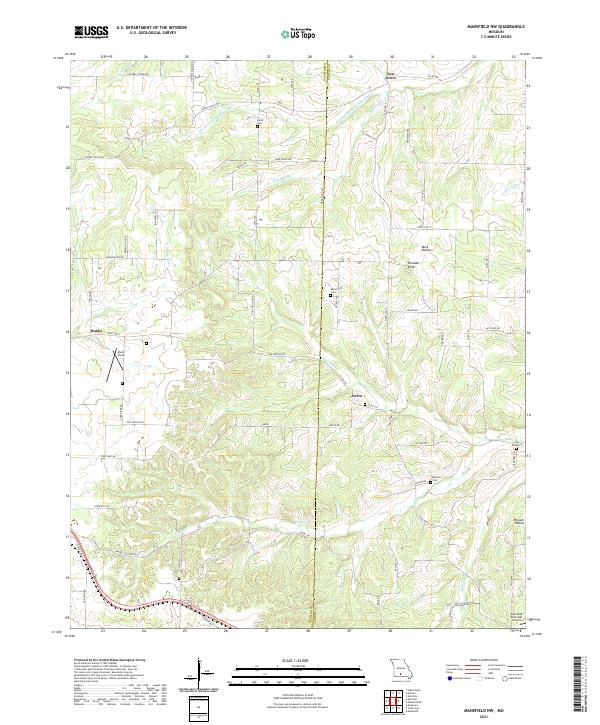
2021 Mansfield NW
Webster County, MO
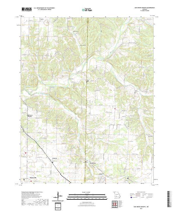
2021 Oak Grove Heights
Webster County, MO