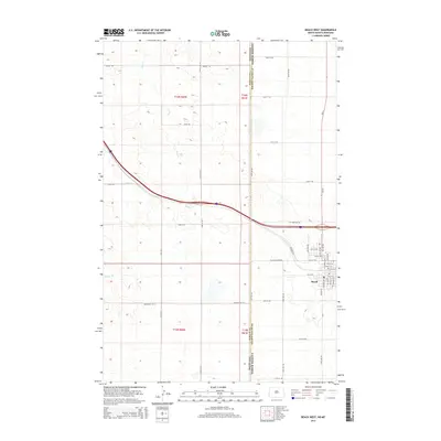
2014 Map of Beach West
USGS Topo · Published 2014About this map
The town of Beach sits at the eastern edge of this 2014 survey, where the prairie of Golden Valley County meets the state line between Montana and North Dakota. This landscape is defined by the headwaters of several drainage systems, including the southward-flowing Hay Cr and Yates Cr, which carve shallow paths across the high plains. The area's agricultural and rural structure is evidenced by a precise grid of section lines and named country roads like Mingus Rd and Welsh Dr. To the west, the map captures the transition into Wibaux County, Montana. The infrastructure of the Interstate 94 corridor is visible, alongside local landmarks such as Black Diamond Rd and the family-named Buldhaupt Ln W, providing a clear record of land use and property access in the early 21st century.
Find a feature on this map
48 named features on this map. Tap any name to fly to it.
Don’t see what you’re looking for? This feature index may not catch every label — zoom into the map to look around manually.
Map Details
Editions of this 2014 Beach West Map
This is the sole edition of this map. No revisions or reprints were ever made.
Other maps of this area

1909 · Glendive
USGS Topo · 1:250,000

1953 · Miles City
USGS Topo · 1:250,000

1953 · Dickinson
USGS Topo · 1:250,000

1953 · Watford City
USGS Topo · 1:250,000

1954 · Glendive
USGS Topo · 1:250,000

1957 · Dickinson
USGS Topo · 1:250,000

1957 · Miles City
USGS Topo · 1:250,000

1957 · Glendive
USGS Topo · 1:250,000

1957 · Watford City
USGS Topo · 1:250,000

1958 · Miles City
USGS Topo · 1:250,000