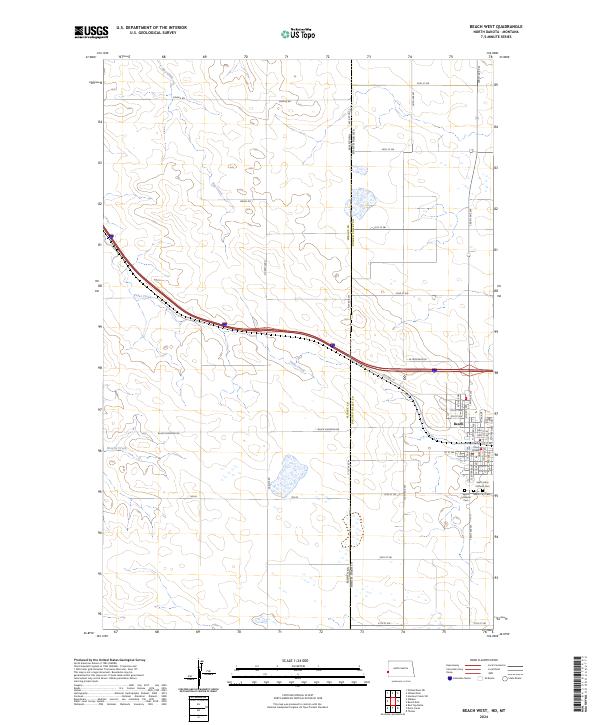
2024 Map of Beach West
USGS Topo · Published 2024About this map
Beach stands as the primary hub on the western edge of North Dakota, situated where the state line meets Montana. The landscape is defined by the headwaters of Yates Creek, Hay Creek, and Brophy Creek, which carve drainage patterns across the high plains. The transition from rural section lines to the town's grid is marked by the Court House and several community landmarks. This modern survey illustrates how long-standing transportation corridors like Old Hwy 10 and I-94 Frontage Rd continue to follow the natural contours of the land. For genealogists and local historians, the map identifies three distinct burial grounds south of the town center: Beach City Cem, Saint Johns Catholic Cem, and Beach Lutheran Cem. The surrounding territory, divided by roads such as Black Diamond Rd and Carlyle Rd, retains its expansive character even as modern infrastructure parallels the ancient creek beds.
Find a feature on this map
55 named features on this map. Tap any name to fly to it.
Don’t see what you’re looking for? This feature index may not catch every label — zoom into the map to look around manually.
Map Details
Editions of this 2024 Beach West Map
This is the sole edition of this map. No revisions or reprints were ever made.
Other maps of this area

1909 · Glendive
USGS Topo · 1:250,000

1953 · Miles City
USGS Topo · 1:250,000

1953 · Dickinson
USGS Topo · 1:250,000

1953 · Watford City
USGS Topo · 1:250,000

1954 · Glendive
USGS Topo · 1:250,000

1957 · Dickinson
USGS Topo · 1:250,000

1957 · Miles City
USGS Topo · 1:250,000

1957 · Glendive
USGS Topo · 1:250,000

1957 · Watford City
USGS Topo · 1:250,000

1958 · Miles City
USGS Topo · 1:250,000