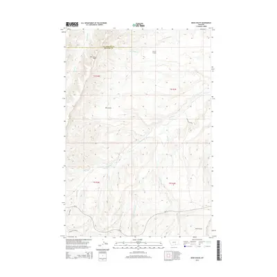
2014 Map of Bear Coulee
USGS Topo · Published 2014About this map
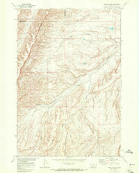
Wild Horse Ridge dominates the western topography of this Montana landscape, where the border between Yellowstone County and Big Horn County cuts through a complex network of coulees and drainage basins. This area is defined by its dramatic relief and seasonal waterways, including the winding paths of Beauvais Cr and Scott Cr. In the southern portion of the map, transportation is limited to established routes like Pryor-Saint Xavier Rd and Hwy 91, which navigate the base of the ridges. The intricate drainage of Buster Cr, including its East, West, and Middle Forks, illustrates the erosional forces that have shaped Bear Coulee and Horse Coulee over time. This 2014 survey serves as a modern record of land management and natural boundaries in this sparsely populated region of Big Sky Country.
Find a feature on this map
22 named features on this map. Tap any name to fly to it.
Don’t see what you’re looking for? This feature index may not catch every label — zoom into the map to look around manually.
Map Details
Editions of this 2014 Bear Coulee Map
This is the sole edition of this map. No revisions or reprints were ever made.
Other maps of this area

1893 · Huntley
USGS Topo · 1:125,000

1954 · Billings
USGS Topo · 1:250,000

1957 · Billings
USGS Topo · 1:250,000

1958 · Billings
USGS Topo · 1:250,000
1964 · Horse Coulee
USGS Topo · 1:24,000
1964 · Grapevine Dome
USGS Topo · 1:24,000

1967 · Deep Creek SE
USGS Topo · 1:24,000

1967 · Soda Springs
USGS Topo · 1:24,000
1967 · Chilkoot Coulee
USGS Topo · 1:24,000
1968 · Bear Coulee
USGS Topo · 1:24,000