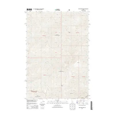
2013 Map of Bear Creek Point
USGS Topo · Published 2013About this map
Bear Creek Point stands as a prominent landmark in this high-elevation landscape where the Salmon National Forest meets the Boise National Forest in Valley County. The terrain is defined by a complex network of drainages and named basins, such as Cow Basin and Countess Gulch, which feed into the area's many waterways including Big Bear Cr and Brush Cr. This 2013 survey reflects the land's status as protected wilderness, lacking roads or permanent settlements but retaining historical land division markers like PB 40 and PB 41. The intricate contour work illustrates the steep transitions between ridges and gulches like Tappen Gulch, providing a detailed view of the water-carved geography that characterizes this part of the Idaho interior.
Find a feature on this map
33 named features on this map. Tap any name to fly to it.
Don’t see what you’re looking for? This feature index may not catch every label — zoom into the map to look around manually.
Map Details
Editions of this 2013 Bear Creek Point Map
This is the sole edition of this map. No revisions or reprints were ever made.
Other maps of this area

1930 · Casto
USGS Topo · 1:125,000

1956 · Elk City
USGS Topo · 1:250,000

1957 · Challis
USGS Topo · 1:250,000

1960 · Elk City
USGS Topo · 1:250,000

1960 · Challis
USGS Topo · 1:250,000

1962 · Mormon Mtn
USGS Topo · 1:24,000

1962 · Bear Creek Point
USGS Topo · 1:24,000

1962 · Puddin Mtn
USGS Topo · 1:24,000

1962 · Norton Ridge
USGS Topo · 1:24,000

1962 · Shellrock Peak
USGS Topo · 1:24,000