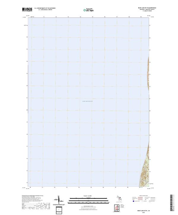
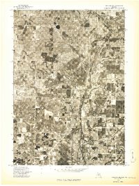
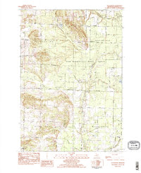
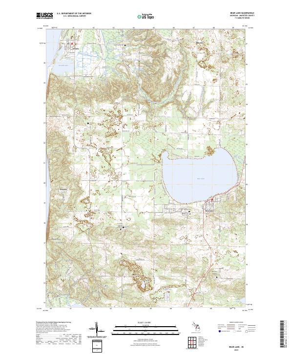
2023 Map of Bear Lake OE W
USGS Topo · Published 2023This historical map portrays the area of Bear Lake OE W in 2023, primarily covering Manistee County. Featuring a scale of 1:24000, this map provides a highly detailed snapshot of the terrain, roads, buildings, counties, and historical landmarks in the Bear Lake OE W region at the time. Published in 2023, it is the sole known edition of this map.
Find a feature on this map
12 named features on this map. Tap any name to fly to it.
Don’t see what you’re looking for? This feature index may not catch every label — zoom into the map to look around manually.
Map Details
Editions of this 2023 Bear Lake OE W Map
This is the sole edition of this map. No revisions or reprints were ever made.
Historical Maps of Manistee County Through Time
19 maps found
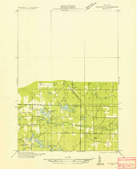
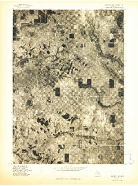
1933 Peacock NW
Manistee County, MI
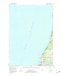
1956 Bar Lake
Manistee County, MI
1976 Bar Lake SE
Manistee County, MI
1976 Onekama NE
Manistee County, MI
1976 Onekama NW
Manistee County, MI
1976 Onekama SE
Manistee County, MI
1976 Onekama SW
Manistee County, MI
1976 Wellston NW
Manistee County, MI
1982 Pleasanton
Manistee County, MI
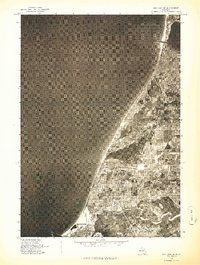
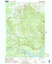
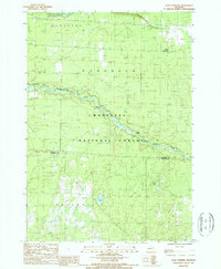
1983 Bear Lake
Manistee County, MI
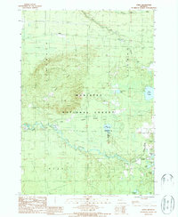
1987 Marilla
Manistee County, MI
1987 Star Corners
Manistee County, MI
1987 Udell
Manistee County, MI
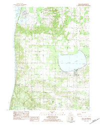
2023 Bear Lake
Manistee County, MI
2023 Bear Lake OE W
Manistee County, MI
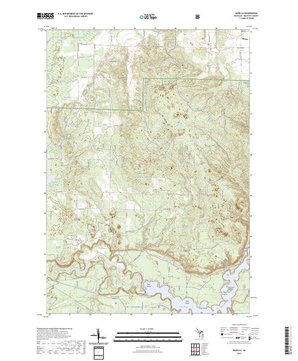
2023 Marilla
Manistee County, MI
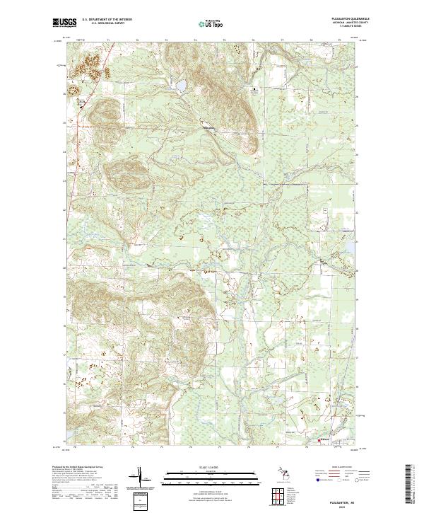
2023 Pleasanton
Manistee County, MI
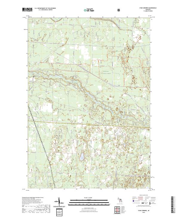
2023 Star Corners
Manistee County, MI
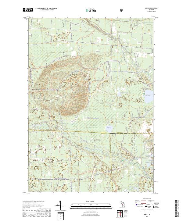
2023 Udell
Manistee County, MI