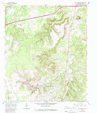
1966 Map of Bear Mountain
USGS Topo · Published 1987About this map
Bear Mountain rises above a landscape defined by the rugged drainage patterns of the Pinto Canyon and its many tributaries in Eastland County. During the mid-1960s, this area of North Texas maintained a sparsely populated character, evidenced by the isolation of the Cook Cem and the numerous Oil Wells and Drill Holes that dot the terrain. The presence of an Old Railroad Grade in the southwestern corner indicates a shift in transportation infrastructure, as older rail routes gave way to the emerging highway system that now cuts across the northern edge of the map. Along the creek beds of Bear Creek, Brush Creek, and Pinto Creek, the map details a mix of industrial activity and natural landmarks, including several gravel pits and a quarry, illustrating the local extraction economy of the era.
Find a feature on this map
14 named features on this map. Tap any name to fly to it.
Don’t see what you’re looking for? This feature index may not catch every label — zoom into the map to look around manually.
Map Details
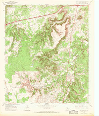
Editions of this 1966 Bear Mountain Map
2 editions found
Other maps of this area

1890 · Stephenville
USGS Topo · 1:125,000

1890 · Breckenridge
USGS Topo · 1:125,000

1891 · Palo Pinto
USGS Topo · 1:125,000

1894 · Eastland
USGS Topo · 1:125,000

1918 · Palo Pinto
USGS Topo · 1:125,000

1920 · Stephenville
USGS Topo · 1:125,000

1954 · Abilene
USGS Topo · 1:250,000

1958 · Abilene
USGS Topo · 1:250,000

1959 · Gordon
USGS Topo · 1:62,500

1965 · Huckabay SW
USGS Topo · 1:24,000