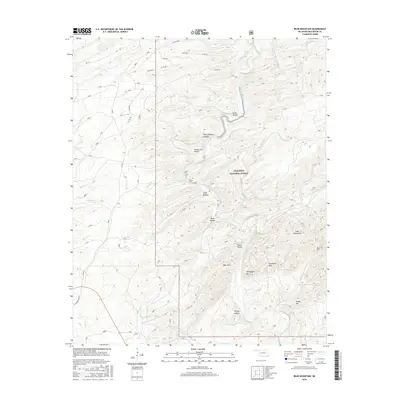
2016 Map of Bear Mountain
USGS Topo · Published 2016About this map
The Ouachita National Forest dominates this section of McCurtain County, where a complex network of ridges and drainage basins defines the local geography. The Glover River serves as the primary artery through this landscape, joined by numerous tributaries including Whisky Br, Wolf Cr, and Cypress Cr. This map documents a region characterized by prominent peaks like Bear Mtn, Chinquapin Mtn, and the Cedar Mountains, interspersed with family-named hollows such as Shorty Cox Hollow, Lebow Hollow, and Meat Hollow.
Find a feature on this map
40 named features on this map. Tap any name to fly to it.
Don’t see what you’re looking for? This feature index may not catch every label — zoom into the map to look around manually.
Map Details
Editions of this 2016 Bear Mountain Map
This is the sole edition of this map. No revisions or reprints were ever made.
Other maps of this area

1901 · Alikchi
USGS Topo · 1:125,000

1902 · Lukfata
USGS Topo · 1:125,000

1950 · Mcalester
USGS Topo · 1:250,000

1959 · Golden
USGS Topo · 1:62,500

1960 · Bethel
USGS Topo · 1:62,500

1962 · McAlester
USGS Topo · 1:250,000

1962 · Wright City
USGS Topo · 1:24,000

1962 · Alikchi
USGS Topo · 1:24,000

1962 · Signal Mountain
USGS Topo · 1:24,000

1965 · McAlester
USGS Topo · 1:250,000