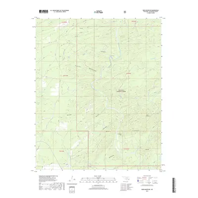
2018 Map of Bear Mountain
USGS Topo · Published 2018About this map
The Ouachita National Forest dominates this section of McCurtain County, where the Glover River carves a winding path through a complex system of ridges and drainage basins. The landscape is defined by its deep hollows, including Shorty Cox Hollow, Black Sulphur Hollow, and Meat Hollow, which collect runoff for tributaries like Whisky Br and Cypress Cr. This 2018 survey illustrates a region shaped by its natural topography rather than urban development, with elevations rising toward distinct peaks such as Bear Mtn, Chinquapin Mtn, and the Cedar Mountains. While modern forestry roads such as Co RD 72000 and Co RD 682 provide access today, the presence of Old State Hwy 98 in the southwest corner marks an older era of travel through these wooded hills. The map serves as a detailed record of the river-fed terrain, from Burks Springs in the north to Caney Mtn in the south.
Find a feature on this map
44 named features on this map. Tap any name to fly to it.
Don’t see what you’re looking for? This feature index may not catch every label — zoom into the map to look around manually.
Map Details
Editions of this 2018 Bear Mountain Map
This is the sole edition of this map. No revisions or reprints were ever made.
Other maps of this area

1901 · Alikchi
USGS Topo · 1:125,000

1902 · Lukfata
USGS Topo · 1:125,000

1950 · Mcalester
USGS Topo · 1:250,000

1959 · Golden
USGS Topo · 1:62,500

1960 · Bethel
USGS Topo · 1:62,500

1962 · McAlester
USGS Topo · 1:250,000

1962 · Wright City
USGS Topo · 1:24,000

1962 · Alikchi
USGS Topo · 1:24,000

1962 · Signal Mountain
USGS Topo · 1:24,000

1965 · McAlester
USGS Topo · 1:250,000