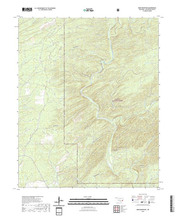
2022 Map of Bear Mountain
USGS Topo · Published 2022About this map
The Glover River meanders through the heart of the Ouachita National Forest in this McCurtain County survey, revealing a landscape defined by sharp elevation changes and deep drainages. Numerous peaks dominate the southern half of the sheet, including Bear Mtn, Grapevine Mtn, and the Cedar Mountains. The terrain is etched with dozens of named hollows such as Meat Hollow and Lebow Hollow, which suggest a long history of local naming conventions tied to specific geographical niches.
Find a feature on this map
46 named features on this map. Tap any name to fly to it.
Don’t see what you’re looking for? This feature index may not catch every label — zoom into the map to look around manually.
Map Details
Editions of this 2022 Bear Mountain Map
This is the sole edition of this map. No revisions or reprints were ever made.
Other maps of this area

1901 · Alikchi
USGS Topo · 1:125,000

1902 · Lukfata
USGS Topo · 1:125,000

1950 · Mcalester
USGS Topo · 1:250,000

1959 · Golden
USGS Topo · 1:62,500

1960 · Bethel
USGS Topo · 1:62,500

1962 · McAlester
USGS Topo · 1:250,000

1962 · Wright City
USGS Topo · 1:24,000

1962 · Alikchi
USGS Topo · 1:24,000

1962 · Signal Mountain
USGS Topo · 1:24,000

1965 · McAlester
USGS Topo · 1:250,000