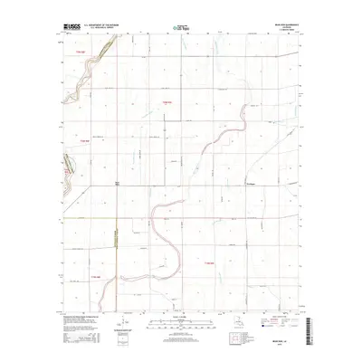
2015 Map of Bear Skin
USGS Topo · Published 2015About this map
Bear Skin and Newhope anchor this landscape along the winding boundary between West Carroll and Morehouse parishes. The terrain is defined by a dense network of slow-moving waterways, including the prominent Boeuf River and the meandering Big Colewa Creek. The survey reveals a rural grid of local roads named for established families, such as Babcock Rd, Watts Rd, and Alderman Rd, which provide access to the agricultural tracts between the bayous. Farther east, Indian Bayou and Hurricane Cr drain the lowlands, illustrating the complex hydrology of this part of northern Louisiana. The confluence of Little Colewa Cr and smaller tributaries like Cane Bayou suggests a land deeply influenced by seasonal water movement and established parish lines.
Find a feature on this map
55 named features on this map. Tap any name to fly to it.
Don’t see what you’re looking for? This feature index may not catch every label — zoom into the map to look around manually.
Map Details
Editions of this 2015 Bear Skin Map
This is the sole edition of this map. No revisions or reprints were ever made.
Other maps of this area

1935 · Hurricane
USGS Topo · 1:62,500

1935 · Oak Grove
USGS Topo · 1:62,500

1935 · Bonita
USGS Topo · 1:62,500

1955 · Jackson
USGS Topo · 1:250,000

1958 · Oak Grove
USGS Topo · 1:62,500

1958 · Hurricane
USGS Topo · 1:62,500

1958 · Bonita
USGS Topo · 1:62,500

1959 · Mitchiner
USGS Topo · 1:62,500

1961 · Jackson
USGS Topo · 1:250,000

1962 · Jackson
USGS Topo · 1:250,000