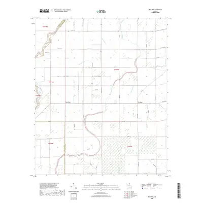
2020 Map of Bear Skin
USGS Topo · Published 2020About this map
Bear Skin and Newhope sit within a landscape defined by the branching waterways of the Louisiana delta, where Big Colewa Creek and Bear Skin Bayou wind through the borderlands of Morehouse and West Carroll parishes. The terrain is marked by an extensive network of local parish roads and named lanes, including Georgia Ridge Rd and Dummy Line Rd, the latter often indicating the path of former logging rail spurs common in this timber-rich region.
Find a feature on this map
48 named features on this map. Tap any name to fly to it.
Don’t see what you’re looking for? This feature index may not catch every label — zoom into the map to look around manually.
Map Details
Editions of this 2020 Bear Skin Map
This is the sole edition of this map. No revisions or reprints were ever made.
Other maps of this area

1935 · Hurricane
USGS Topo · 1:62,500

1935 · Oak Grove
USGS Topo · 1:62,500

1935 · Bonita
USGS Topo · 1:62,500

1955 · Jackson
USGS Topo · 1:250,000

1958 · Oak Grove
USGS Topo · 1:62,500

1958 · Hurricane
USGS Topo · 1:62,500

1958 · Bonita
USGS Topo · 1:62,500

1959 · Mitchiner
USGS Topo · 1:62,500

1961 · Jackson
USGS Topo · 1:250,000

1962 · Jackson
USGS Topo · 1:250,000