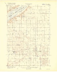
1918 Map of Beardsley
USGS Topo · Published 1918About this map
The Great Northern (Browns Valley Line) cuts across the southern portion of this landscape, anchoring the settlements of Beardsley and Barry within a rural prairie environment defined by a remarkable density of early country schools. The northwest corner is dominated by the sprawling waters of Lake Traverse, where the South Dakota Minnesota boundary line follows the center of the lake.
Find a feature on this map
38 named features on this map. Tap any name to fly to it.
Don’t see what you’re looking for? This feature index may not catch every label — zoom into the map to look around manually.
Map Details
Editions of this 1918 Beardsley Map
3 editions found
Other maps of this area

1915 · White Rock
USGS Topo · 1:62,500

1916 · Peever
USGS Topo · 1:62,500

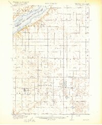
1916 · Beardsley
USGS Topo · 1:62,500

1917 · New Effington
USGS Topo · 1:62,500

1918 · Peever
USGS Topo · 1:62,500

1918 · White Rock
USGS Topo · 1:62,500

1918 · Beardsley
USGS Topo · 1:62,500

1950 · Graceville
USGS Topo · 1:62,500

1951 · Wheaton
USGS Topo · 1:62,500

1953 · Ortonville
USGS Topo · 1:62,500