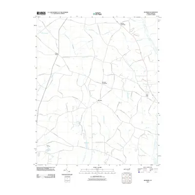
2010 Map of Bearskin
USGS Topo · Published 2010About this map
Beaman Crossroads and Kitty Fork anchor this rural North Carolina landscape, where the drainage patterns of the coastal plain dictate the settlement layout. The terrain is defined by a dense network of blackwater drainages including Great Coharie Creek and several extensive wetlands such as Bearskin Swamp, Hornet Swamp, and White Oak Swamp. These low-lying areas interlace with a grid of family-named roads and agricultural lands, reflecting the area's deep-rooted farming heritage.
Find a feature on this map
66 named features on this map. Tap any name to fly to it.
Don’t see what you’re looking for? This feature index may not catch every label — zoom into the map to look around manually.
Map Details
Editions of this 2010 Bearskin Map
This is the sole edition of this map. No revisions or reprints were ever made.
Other maps of this area

1909 · Coharie
USGS Topo · 1:62,500

1953 · Florence
USGS Topo · 1:250,000

1953 · Raleigh
USGS Topo · 1:250,000

1954 · Florence
USGS Topo · 1:250,000

1954 · Raleigh
USGS Topo · 1:250,000

1959 · Roseboro
USGS Topo · 1:62,500

1959 · Garland
USGS Topo · 1:62,500

1974 · Salemburg
USGS Topo · 1:24,000
1974 · Mingo
USGS Topo · 1:24,000

1982 · Elizabethtown
USGS Topo · 1:100,000