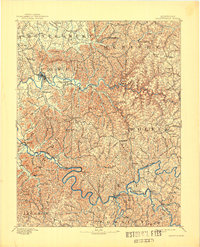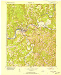
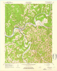
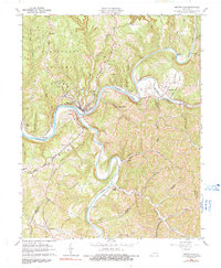
1961 Map of Beattyville
USGS Topo · Published 1963About this map
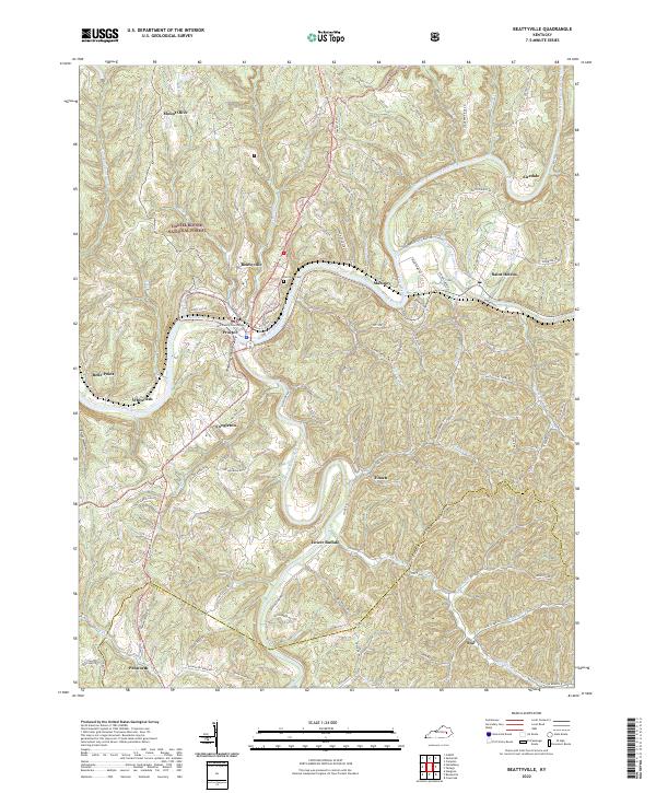
Beattyville serves as the focal point of this 1961 revision, situated at the dramatic confluence where the North Fork and South Fork join to form the Kentucky River. This hydrological nexus defined the regional economy, supported by the Louisville and Nashville Railroad which snakes through the steep river valleys. The map reveals a landscape of high ridges and narrow hollows, with small communities like Proctor and Belle Point clinging to the riverbanks. Beyond the town centers, the land transitions into the Cumberland National Forest, where rural life is marked by local landmarks such as Pleasant Flat Sch and Mt Olive Ch. In the outlying areas, evidence of resource extraction appears via a Strip Mine and numerous oil wells, while mid-century leisure is represented by a Drive-in Theater near Congleton.
Find a feature on this map
52 named features on this map. Tap any name to fly to it.
Don’t see what you’re looking for? This feature index may not catch every label — zoom into the map to look around manually.
Map Details
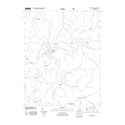
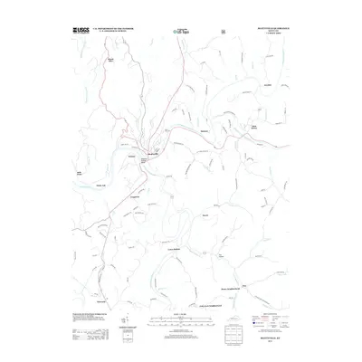
Editions of this 1961 Beattyville Map
3 editions found
Historical Maps of Beattyville Through Time
8 maps found