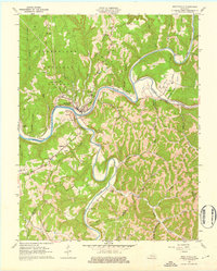
1961 Map of Beattyville
USGS Topo · Published 1976About this map
The North Fork Kentucky River and South Fork Kentucky River converge here to form the Kentucky River, a geographical centerpiece that historically dictated the layout of Lee County. This 1961 revision documents the industrial and social infrastructure of Beattyville and its neighbor Proctor during a mid-century period when the Louisville and Nashville railroad remained a vital transit corridor through the river valleys.
Find a feature on this map
51 named features on this map. Tap any name to fly to it.
Don’t see what you’re looking for? This feature index may not catch every label — zoom into the map to look around manually.
Map Details
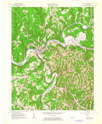
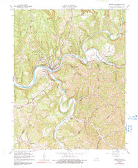
Editions of this 1961 Beattyville Map
3 editions found
Other maps of this area

1891 · Manchester
USGS Topo · 1:125,000

1892 · Beattyville
USGS Topo · 1:125,000

1952 · Tallega
USGS Topo · 1:24,000

1952 · Beattyville
USGS Topo · 1:24,000

1952 · Cobhill
USGS Topo · 1:24,000
1952 · Campton
USGS Topo · 1:24,000

1952 · Heidelberg
USGS Topo · 1:24,000

1953 · Cowcreek
USGS Topo · 1:24,000

1953 · Booneville
USGS Topo · 1:24,000

1953 · Sturgeon
USGS Topo · 1:24,000