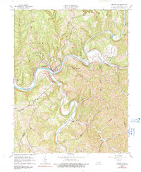
1961 Map of Beattyville
USGS Topo · Published 1991About this map
Beattyville serves as the focal point of this 1961 survey, situated at the strategic confluence where the North Fork Kentucky River and South Fork Kentucky River meet. This river-driven landscape is defined by the winding paths of these waterways, which carve through the Cumberland National Forest and dictate the placement of early infrastructure. The Louisville and Nashville Railroad follows the riverbank, connecting river towns like Maloney and St Helens to the larger region.
Find a feature on this map
56 named features on this map. Tap any name to fly to it.
Don’t see what you’re looking for? This feature index may not catch every label — zoom into the map to look around manually.
Map Details
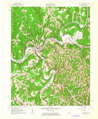
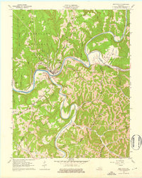
Editions of this 1961 Beattyville Map
3 editions found
Other maps of this area

1891 · Manchester
USGS Topo · 1:125,000

1892 · Beattyville
USGS Topo · 1:125,000

1952 · Tallega
USGS Topo · 1:24,000

1952 · Beattyville
USGS Topo · 1:24,000

1952 · Cobhill
USGS Topo · 1:24,000
1952 · Campton
USGS Topo · 1:24,000

1952 · Heidelberg
USGS Topo · 1:24,000

1953 · Cowcreek
USGS Topo · 1:24,000

1953 · Booneville
USGS Topo · 1:24,000

1953 · Sturgeon
USGS Topo · 1:24,000