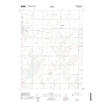
2018 Map of Beaucoup
USGS Topo · Published 2018About this map
Nashville and the smaller settlements of Beaucoup and Posen anchor this Washington County landscape, revealing a transition from small-town street grids to an expansive rural interior. Genealogists will find a high density of burial grounds clustered near the towns, including Saint Anns Catholic Cem, Saint Paul Cem, and Greenwood Cem, while the Kennedy Cem and Old County Cem sit more isolated among the section lines. The drainage patterns of Beaucoup Cr, Back Cr, and Sugar Cr create winding paths through the rectangular agricultural survey, contrasted by the engineered waters of Washington County Lake and the Nashville City Reservoir. This contemporary view shows the enduring footprint of early settlements alongside modern recreational waters, preserving the names of the families and congregations that established these Illinois communities.
Find a feature on this map
66 named features on this map. Tap any name to fly to it.
Don’t see what you’re looking for? This feature index may not catch every label — zoom into the map to look around manually.
Map Details
Editions of this 2018 Beaucoup Map
This is the sole edition of this map. No revisions or reprints were ever made.
Other maps of this area

1924 · Pinckneyville
USGS Topo · 1:62,500

1926 · Pinckneyville
USGS Topo · 1:62,500

1926 · Duquoin
USGS Topo · 1:62,500

1931 · Hoyleton
USGS Topo · 1:48,000

1932 · Nashville
USGS Topo · 1:62,500

1936 · Nashville
USGS Topo · 1:62,500

1943 · Ashley
USGS Topo · 1:62,500

1946 · Ashley
USGS Topo · 1:62,500

1958 · Belleville
USGS Topo · 1:250,000

1962 · Belleville
USGS Topo · 1:250,000