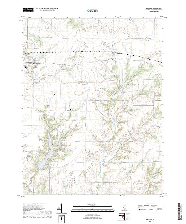
2024 Map of Beaucoup
USGS Topo · Published 2024About this map
Nashville anchors the western edge of this Washington County landscape, where the Nashville Reservoir and Nashville Creek provide a localized focus for the community. The terrain is defined by the branching systems of Beaucoup Creek, Sugar Creek, and Hickory Creek, which create a complex drainage pattern through the agricultural heartland. A notable concentration of cemeteries, including Saint Ann Cem, Greenwood Cem, and the Washington County Farm Cem, provides significant points of interest for genealogists and local historians tracing the settlement patterns of this Illinois prairie region.
Find a feature on this map
54 named features on this map. Tap any name to fly to it.
Don’t see what you’re looking for? This feature index may not catch every label — zoom into the map to look around manually.
Map Details
Editions of this 2024 Beaucoup Map
This is the sole edition of this map. No revisions or reprints were ever made.
Other maps of this area

1924 · Pinckneyville
USGS Topo · 1:62,500

1926 · Pinckneyville
USGS Topo · 1:62,500

1926 · Duquoin
USGS Topo · 1:62,500

1931 · Hoyleton
USGS Topo · 1:48,000

1932 · Nashville
USGS Topo · 1:62,500

1936 · Nashville
USGS Topo · 1:62,500

1943 · Ashley
USGS Topo · 1:62,500

1946 · Ashley
USGS Topo · 1:62,500

1958 · Belleville
USGS Topo · 1:250,000

1962 · Belleville
USGS Topo · 1:250,000