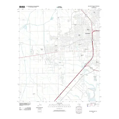
2010 Map of Beaumont West
USGS Topo · Published 2010About this map
Beaumont's western expansion and industrial footprint are captured here during the first decade of the 2000s. The landscape is defined by the intersection of residential growth in neighborhoods like Calder Highlands and Caldwood Acres with the persistent infrastructure of the region's energy sector. Extensive petroleum activity is visible at the West Beaumont Oil Field, Amelia Oil Field, and the South China Oil Field, highlighting the area's continued reliance on its subterranean resources.
Find a feature on this map
59 named features on this map. Tap any name to fly to it.
Don’t see what you’re looking for? This feature index may not catch every label — zoom into the map to look around manually.
Map Details
Editions of this 2010 Beaumont West Map
This is the sole edition of this map. No revisions or reprints were ever made.
Other maps of this area

1926 · Lakeview
USGS Topo · 1:24,000

1926 · Vidor
USGS Topo · 1:24,000

1932 · Beaumont
USGS Topo · 1:62,500

1943 · Fannett East
USGS Topo · 1:24,000

1943 · Beaumont East
USGS Topo · 1:24,000

1945 · Fannett East
USGS Topo · 1:31,680

1950 · Houston
USGS Topo · 1:250,000

1954 · Beaumont
USGS Topo · 1:250,000

1955 · Sour Lake
USGS Topo · 1:62,500

1956 · Houston
USGS Topo · 1:250,000