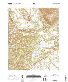
2017 Map of Beaver A-6 NE
USGS Topo · Published 2017About this map
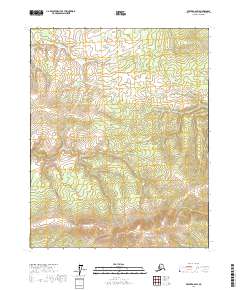
Yukon Flats dominate the terrain of this interior Alaskan landscape, characterized by a complex network of wetlands and seasonal water bodies. The Dall River meanders through the northwest, while the Little Dall River snakes across the southern reaches, illustrating the intricate hydrology of the region before these waters merge with larger systems to the south. This 2017 survey reveals a wilderness defined by its lacustrine features, most notably the sprawling Sussaymin Lakes and the isolated Guishiemana Lake. The lack of established roads or structures reflects the remote nature of the Yukon-Koyukuk Census Area, where the land is primarily shaped by the shifting courses of its tributaries and the seasonal expansion of its many ponds and marshes.
Find a feature on this map
9 named features on this map. Tap any name to fly to it.
Don’t see what you’re looking for? This feature index may not catch every label — zoom into the map to look around manually.
Map Details
Editions of this 2017 Beaver A-6 NE Map
This is the sole edition of this map. No revisions or reprints were ever made.
Other maps of this area

1951 · Beaver
USGS Topo · 1:250,000

1956 · Beaver A-5
USGS Topo · 1:63,360

1956 · Beaver B-5
USGS Topo · 1:63,360

1956 · Beaver
USGS Topo · 1:250,000

1964 · Beaver
USGS Topo · 1:250,000

1970 · Beaver B-6
USGS Topo · 1:63,360
1970 · Beaver A-6
USGS Topo · 1:63,360
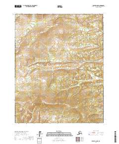
2017 · Beaver A-6 NW
USGS Topo · 1:25,000
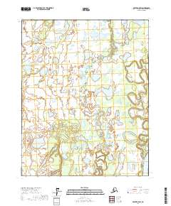
2017 · Beaver A-5 SW
USGS Topo · 1:25,000
2017 · Beaver A-6 SW
USGS Topo · 1:25,000