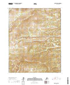
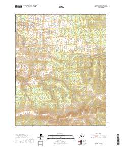
2017 Map of Beaver A-6 NW
USGS Topo · Published 2017About this map
Little Dall River meanders across the southern half of this landscape in the Yukon-Koyukuk region of interior Alaska. The terrain consists of complex drainage patterns and numerous small ponds characteristic of the boreal wetlands south of the Brooks Range. Surveyed by the U.S. Geological Survey and the U.S. Department of the Interior, the map documents the Public Land Survey System divisions, including t16n r11w and t15n r11w. This map is primarily an ecological and topographic record of a wilderness area where the slow movement of the river and the density of seasonal wetlands define the geography.
Find a feature on this map
7 named features on this map. Tap any name to fly to it.
Don’t see what you’re looking for? This feature index may not catch every label — zoom into the map to look around manually.
Map Details
Editions of this 2017 Beaver A-6 NW Map
This is the sole edition of this map. No revisions or reprints were ever made.
Other maps of this area

1951 · Bettles
USGS Topo · 1:250,000

1951 · Beaver
USGS Topo · 1:250,000

1956 · Bettles
USGS Topo · 1:250,000

1956 · Beaver
USGS Topo · 1:250,000

1964 · Beaver
USGS Topo · 1:250,000

1970 · Beaver B-6
USGS Topo · 1:63,360
1970 · Beaver A-6
USGS Topo · 1:63,360
1970 · Bettles B-1
USGS Topo · 1:63,360
1970 · Bettles A-1
USGS Topo · 1:63,360
2017 · Beaver A-6 SW
USGS Topo · 1:25,000