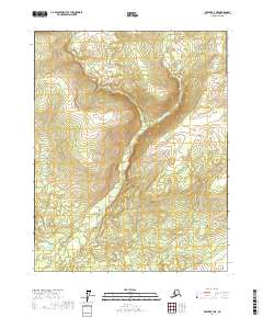
2017 Map of Beaver B-4 NE
USGS Topo · Published 2017About this map
E Fork the Forks defines the drainage of this interior wilderness within the Yukon-Koyukuk Census Area. This 2017 topographic survey highlights the complex wetlands and drainages that characterize the basin floor. This specific quadrant is remarkably undeveloped, dominated by the winding path of the east fork and its associated tributaries. The map details the Public Land Survey System grid, including boundaries for t19n r6w, t19n r5w, t18n r6w, and t18n r5w, which serve as the primary reference points for this expanse of Alskan bush. Researchers of the region will find precise elevation contours and hydrographic data essential for understanding the seasonal flow of the subarctic river systems in this roadless territory.
Find a feature on this map
5 named features on this map. Tap any name to fly to it.
Don’t see what you’re looking for? This feature index may not catch every label — zoom into the map to look around manually.
Map Details
Editions of this 2017 Beaver B-4 NE Map
This is the sole edition of this map. No revisions or reprints were ever made.
Other maps of this area

1951 · Beaver
USGS Topo · 1:250,000

1956 · Beaver B-3
USGS Topo · 1:63,360

1956 · Beaver
USGS Topo · 1:250,000

1956 · Beaver B-4
USGS Topo · 1:63,360

1964 · Beaver
USGS Topo · 1:250,000
1970 · Beaver C-4
USGS Topo · 1:63,360
1990 · Beaver C-3
USGS Topo · 1:63,360
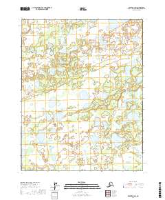
2017 · Beaver B-3 NW
USGS Topo · 1:25,000
2017 · Beaver B-3 SW
USGS Topo · 1:25,000
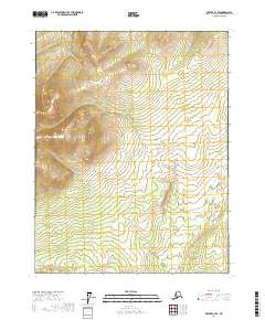
2017 · Beaver C-4 SE
USGS Topo · 1:25,000