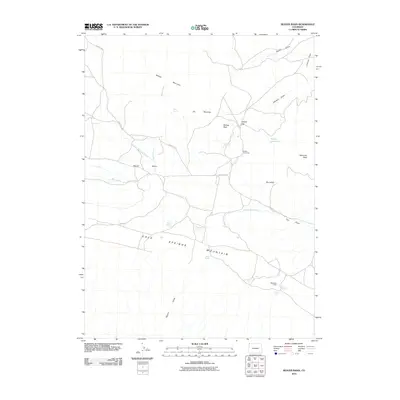
2010 Map of Beaver Basin
USGS Topo · Published 2010About this map
Cold Springs Mountain dominates the southern landscape of this high-country quadrangle, rising above a series of natural springs and ephemeral drainages. The area’s ranching and high-desert heritage is visible in the presence of seasonal outposts like Buckley Cow Camp and the Mansfield Cabin. This topography is defined by significant relief, with Middle Mountain and Diamond Peak anchoring the northern and eastern reaches.
Find a feature on this map
29 named features on this map. Tap any name to fly to it.
Don’t see what you’re looking for? This feature index may not catch every label — zoom into the map to look around manually.
Map Details
Editions of this 2010 Beaver Basin Map
This is the sole edition of this map. No revisions or reprints were ever made.
Other maps of this area

1885 · Ashley
USGS Topo · 1:250,000

1952 · Willow Creek Butte
USGS Topo · 1:24,000

1952 · Swallow Canyon
USGS Topo · 1:24,000

1954 · Lodore School
USGS Topo · 1:24,000

1954 · Vernal
USGS Topo · 1:250,000

1954 · Rock Springs
USGS Topo · 1:250,000

1958 · Vernal
USGS Topo · 1:250,000

1958 · Rock Springs
USGS Topo · 1:250,000

1960 · Vernal
USGS Topo · 1:250,000

1962 · Rock Springs
USGS Topo · 1:250,000