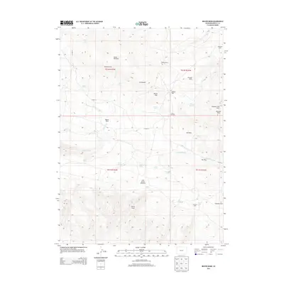
2013 Map of Beaver Basin
USGS Topo · Published 2013About this map
Cold Spring Mountain and the high plateaus of Moffat County dominate this high-altitude landscape, where drainages like Beaver Creek and Talamantes Creek carve through the terrain. The region's history with livestock and seasonal grazing is reflected in the naming of Buckley Cow Camp and several developed water sources including Morales Spring, Willow Springs, and Rocky Reservoir. The map illustrates the topographical complexity of the area, featuring prominent landmarks such as Bishop Peak, Diamond Peak, and Middle Mountain. Significant draws and gulches, including Fondillos Draw and Birdie Gulch, dictate the path of CO Road 72, which provides the primary access through the basin. This survey documents the network of springs and named terrain features essential for land management in this part of northwestern Colorado.
Find a feature on this map
39 named features on this map. Tap any name to fly to it.
Don’t see what you’re looking for? This feature index may not catch every label — zoom into the map to look around manually.
Map Details
Editions of this 2013 Beaver Basin Map
This is the sole edition of this map. No revisions or reprints were ever made.
Other maps of this area

1885 · Ashley
USGS Topo · 1:250,000

1952 · Willow Creek Butte
USGS Topo · 1:24,000

1952 · Swallow Canyon
USGS Topo · 1:24,000

1954 · Lodore School
USGS Topo · 1:24,000

1954 · Vernal
USGS Topo · 1:250,000

1954 · Rock Springs
USGS Topo · 1:250,000

1958 · Vernal
USGS Topo · 1:250,000

1958 · Rock Springs
USGS Topo · 1:250,000

1960 · Vernal
USGS Topo · 1:250,000

1962 · Rock Springs
USGS Topo · 1:250,000