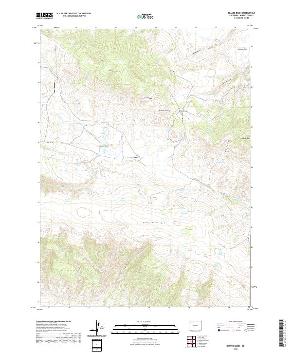
2022 Map of Beaver Basin
USGS Topo · Published 2022About this map
Cold Spring Mtn and the surrounding high country of Beaver Basin define this landscape in northwest Colorado. The terrain is characterized by a dense network of water sources, including family-named landmarks like Richies Spring and Morales Spring, alongside several named drainages like Talamantes Cr and Skeltcher Cr. These springs and seasonal creeks likely supported the early ranching operations that utilized the Elk Meadow and Johnson Flats for grazing. The presence of Bishop Peak and Diamond Peak provides significant elevation markers across the quadrangle, while Co RD 72 serves as the primary artery through the remote basins and draws. This topographic survey captures the fundamental water-and-range geography of the region as it exists in the early twenty-first century.
Find a feature on this map
34 named features on this map. Tap any name to fly to it.
Don’t see what you’re looking for? This feature index may not catch every label — zoom into the map to look around manually.
Map Details
Editions of this 2022 Beaver Basin Map
This is the sole edition of this map. No revisions or reprints were ever made.
Other maps of this area

1885 · Ashley
USGS Topo · 1:250,000

1952 · Willow Creek Butte
USGS Topo · 1:24,000

1952 · Swallow Canyon
USGS Topo · 1:24,000

1954 · Lodore School
USGS Topo · 1:24,000

1954 · Vernal
USGS Topo · 1:250,000

1954 · Rock Springs
USGS Topo · 1:250,000

1958 · Vernal
USGS Topo · 1:250,000

1958 · Rock Springs
USGS Topo · 1:250,000

1960 · Vernal
USGS Topo · 1:250,000

1962 · Rock Springs
USGS Topo · 1:250,000